
map projections

Cordiform: Heart-Shaped Map Projections
Heart shaped map projections are known as cordiform map projections which is derived from the Latin "cor" for heart and form for shape.

Types of Map Projections
Map projections are used to transform the Earth's three-dimensional surface into a two-dimensional representation.

A Guide to Understanding Map Projections
Map projections are techniques used to transform the Earth's three-dimensional surface onto a two-dimensional plane, inevitably introducing some distortion in area, shape, distance, direction, or scale.
Free GIS Books
Most of these free GIS books are available in downloadable PDF format and can be read from a computer or on an eBook reader.

Using Map Projections with Maptitude
Stewart Berry discusses how Maptitude works with different map projections.

New “Map Projections for Babies” Board Book Helps Encourage Early Communication and Learning
Dan Ford explains how support from the geospatial community will help bring the "Map Projections for Babies" board book to life.
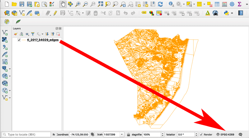
How to Change the Projection of a Shapefile Using QGIS
If you know your shapefile's beginning coordinate system or projection, you can export the data using QGIS.

How To Use the Equal Earth Projection With QGIS on the Mac
Here are a few short steps to set up the Equal Earth map projection in QGIS.

How to Use the Equal Earth Map Projection in Different GIS and Mapping Software Applications
Listed here are GIS and mapping resources that have incorporated the Equal Earth Map Projection.
Tissot’s Indicatrix: Measuring Distortion in Map Projections
Tissot’s indicatrix is a mathematical contrivance used in cartography to characterize local distortions in map projections.

Create Custom Map Projections
Flex Projector is a free and open source, platform agnostic software application that lets users upload GIS data and create customized small scale global map projections.

Teaching Context When it Comes to Map Projections
Context is needed in teaching about distortion created by different map projections.

Geo Quiz: Which Country is Bigger?
This quiz challenges you to figure out which country is bigger based on a world map using the Mercator map projection.

The Map Projection of the United Nations’ Flag
The United Nations flag with a white map on top of a light blue background, is universally recognized. Learn about the map projection used for the logo.

Cartographic Anomalies: How Map Projections Have Shaped Our Perceptions of the World
Elizabeth Borneman explores how cartography and cartographic projections help and hinder our perception of the world.

A Look at the Mercator Projection
Learn about the Mercator map projection – one of the most widely used and recently, most largely criticized projections. Amanda Briney takes a look at the history and development of the Mercator projection, how it works and some criticisms of the projection.

Map Projection Selection Tool
The Map Projection Selection Tool was developed to help cartographers pick the best map projection for making maps in a GIS software program.

Exploring Map Projections
Created using D3, Map Projection Transitions provides an excellent way to visualize a wide range of map projections. The page ...
Best of GIS: Notable 2011 Geospatial Happenings
It’s been a very long time since I’ve done a “best of GIS” year end review. Listed below are ...

A Look at Some Map Projections
The Robinson, Transverse Mercator, Lambert Conformal Conic, and Space Oblique Mercator projections are discussed in this article.