
Articles

CyberGIS: The Next Frontier for GIS?
What is CyberGIS and how will it help advance the geospatial industry? Jack Pitts, a UK-based GIS Consultant, working in terrestrial and marine ecology, writes about the field of GIS is moving towards an Internet based solution.
If Google and Facebook Were Empires: Age of Internet Map
If the most visited websites became the ruler of each country, what would a map of the world look like? ...

Map of Great Britain Created for Minecraft by the Ordnance Survey
The staff at Britain's Ordnance Survey have created a map of the United Kingdom for use in Minecraft.

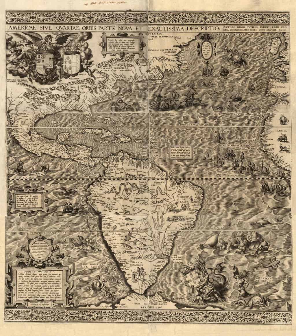
Cartocacoethes
Cartocacoethes is a term meaning “a mania, uncontrollable urge, compulsion or itch to see maps everywhere.”
QGIS 2.0 Released
A new release of QGIS, the popular open source GIS software has officially been released. Each version receives a name ...

The Rise of GIS Terminology
When did the terms GIS, geographic information systems, and geospatial start showing up in books?

Map Projection Selection Tool
The Map Projection Selection Tool was developed to help cartographers pick the best map projection for making maps in a GIS software program.
Mapping the World Three Words at a Time
Instead of address and postal code, Chris Sheldrick has started a company that has divided the world into 57 trillion 3 meter ...
Make Maps in Excel with the New MAPCITE Version
MAPCITE has released a new version of its popular Excel spreadsheet mapping tool. The add-in allows users to visualize geographically ...

Should You Get a GIS Internship?
Those currently studying for a career in GIS should consider carefully how to start their GIS employment. One of the ...

Mapping Global Events Since 1979
The Global Database of Events, Language, and Tone (GDELT) scours international news sources to catalogue georeferenced events occuring around the world.

Study Guide for ArcGIS Desktop Certification
Esri Press has released a new publication that those seeking a study guide for Esri's Technical Certification can take advantage of.

Natural-color Shaded Relief Maps by Hal Shelton
Hal Shelton is a cartographer most notable for his natural-color maps done for Jeppeson Map Company in the 1950s and 1960s.

Pangaea
For hundreds of millions of years, all the land of Earth was joined together in one large mass or super ...

Add ArcGIS Online Maps to Your Wordpress Blog
A new plugin has just been released that gives those using Wordpress the ability to embed maps from ArcGIS Online ...
Assessing a School’s Economic Background Using GIS
I do pro bono GIS work from time to time, and a recent contribution was towards a local school that ...

Dymaxion Map Projection
What makes the Dymaxion map project unique is that the Earth is projected onto the surface of an icosahedron, a polyhedron that is comprised of twenty triangular faces and thirty edges.
Continental Drift Theory
Continental Drift Theory was put forward by the German scientist Alfred Wegner in 1915. According to the Continental Drift Theory, ...

The Urban Observatory Uses GIS to Seek to Better Understand Cities
The Urban Observatory is a live museum that allows access to a large amount of data about major cities around the world. The observatory allows users to compare and contrast a wide variety of GIS data covering areas such as water distribution, power grids, street networks, population density, public transit, and open public spaces.

Cardinal Directions and Ordinal Directions
Learn about cardinal, ordinal, and secondary intercardinal directions.

Crowdsourcing with the USGS
The U.S. Geological Survey is putting out a call for citizen scientists (that means you) to help them track and gather geographic information on what is happening all around the globe. Here are the some of the most well-known USGS crowdsourcing projects.

Near Real-Time Satellite Imagery Being Launched by MapBox
MapBox has announced that it will be launching MapBox Satellite Live later this summer which aims to provide near real-time access to satellite imagery within six hours of any event anywhere in the world.
California Supreme Court Rules that GIS Data are Public Record
After a lengthy battle in the court system, California’s Supreme Court has finally ruled in favor of allowing public access to the government’s GIS data in Orange County. Back in 2007, the Sierra Club sued the county for the right to use its GIS data for environmental mapping projects. Orange County resisted, however, claiming that the digital maps did not fall under the Public Records Act.

Edgardo David | Profiles from the Geospatial Community
GIS Interview with Edgardo David who started working in the GIS field twenty-five years ago, moving from the Philippines to work in Japan. David is now a Senior GIS Analyst with a local city in Southern California.

FEMA Flood Map Challenges
FEMA has been constantly updating and maintaining its Flood Hazard Mapping Program in order to provide ongoing flood risk assessments.