
GIS Industry
Articles about trends and advancements in the geospatial industry.

What the Rise of Small Satellites Means for Geospatial Data
Small scale satellites are changing how we can acquire our data as geospatial analysts.

How Google Earth Engine Has Changed Access to Remote Sensing Data
Google Earth Engine provides access to remote sensing data without requiring advanced software or skilled geospatial technicians.
GIS and Blockchain
For Earth observation and GIS technologies, researchers have only recently begun contemplating what might be useful in applying blockchain technologies.

Next Generation Asset Management with iSTAR Pulsar
Danny Sullivan writes about how 360 imaging company NCTech's vehicle-mounted iSTAR Pulsar camera is being used by Icon Spatial as part of an asset management project for a major highway operator Australia.
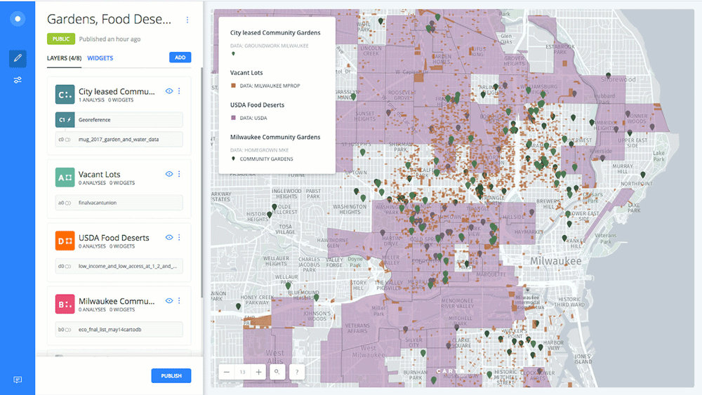
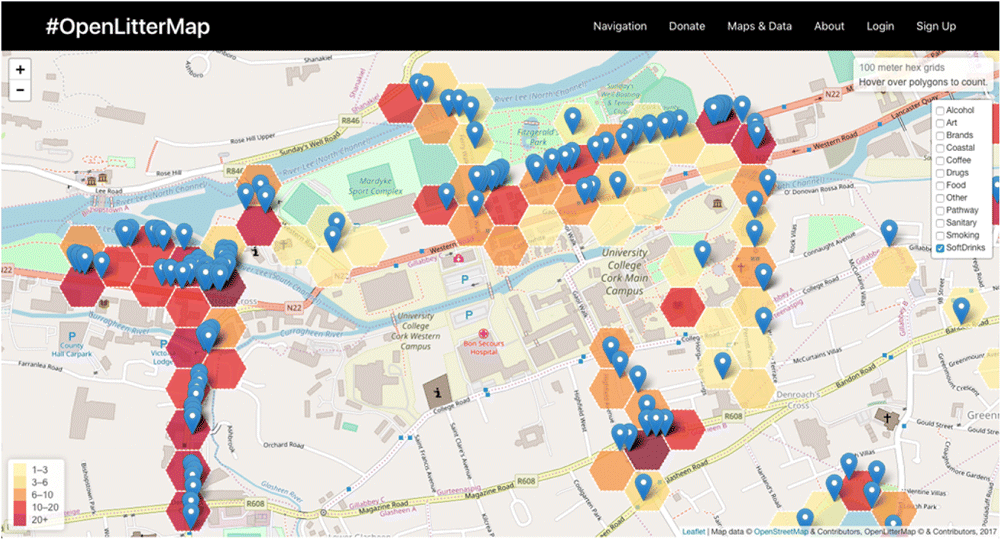
What Helps to Increase Public Participation in GIS?
Community participation in GIS through PPGIS is a worthy goal and has been applied in many studies for decades.

Using GIS to Assess Crime Risk
The use of GIS and spatial analysis has become an important tool in understanding crime patterns.

Using GIS in Golf Course Management
GIS has a growing role in golf from managing courses to facilitating the symbiotic relationship between golf courses and environmental protection.
GIS From the Past: CARETS
In the early 1970s, a joint pilot project between NASA and the USGS sought to test out the feasibility of integrating data from Landsat and high-altitude aircraft sensors into a regional land use database.

Optimizing Traffic with Autonomous Vehicles and Machine Learning
Improving traffic can be achieved by incorporating geospatial technology in autonomous cars, such as sensors and external information.

How Collecting LiDAR is Being Supported by the USGS 3D Elevation Program
Quantum Spatial (QSI) is currently working on more than two dozen LiDAR collection projects in support of the 3DEP. Here’s a look at three of the projects QSI has worked on in 2018.

How Texas is Using Geospatial Technologies to Mitigate Forest Fires
Texas A&M Forest Service partnered with Timmons Group, a national geospatial solutions firm, to develop the Texas Wildfire Risk Assessment Portal (TxWRAP).

The Role of GIS Librarians
The learning curve with most GIS software can be lessened with the help of librarians that are able to explain software, recommend useful media, and preserve geospatial data.

GIS and Cancer Screening
GIS can aid cancer screening, especially for cancers linked to environmental, socio-economic, and resource factors.

Geospatial Artificial Intelligence: Emerging Trends and Challenges
There are both challenges and opportunities that Artificial Intelligence (AI) has in applying geospatial and GIS knowledge that also addresses issues of time and spatial bias.

Future of Mobile Spatial Applications and Image Recognition
Image recognition software and algorithm development is likely to be increasingly applied with spatial applications.

Regulations Affecting the Use of Drones in India
Bankim Chandra Yadav, a Ph.D. student at Indian institute of Technology Roorkee, discusses unmanned aerial vehicles (UAVs) technological implications under the Indian government laws.

The Rise of African Mapping Technologies
Stuart E. Hamilton, GIS Graduate Director at Salisbury University in Maryland, discusses why he considers East Africa to be a leader in geospatial education and opportunities.

High Altitude Pseudo-Satellites
High altitude pseudo-satellites (HAPS) are systems or platforms that usually float or operate for long periods, sometimes for months, at about 20 km above the Earth’s surface and can be potentially used to complement earth observation satellites.
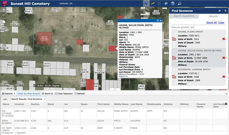
Using GIS to Analyze the Geography of Cemeteries
In addition to studying historic burial sites, GIS has also been shown to be effective in managing modern cemeteries, particularly as space becomes an increasing problem in densely populated regions.

Collaborative Documentation of Online GIS Applications
Olivia Harne discusses the need for adequate documentation by project members when developing online GIS applications.
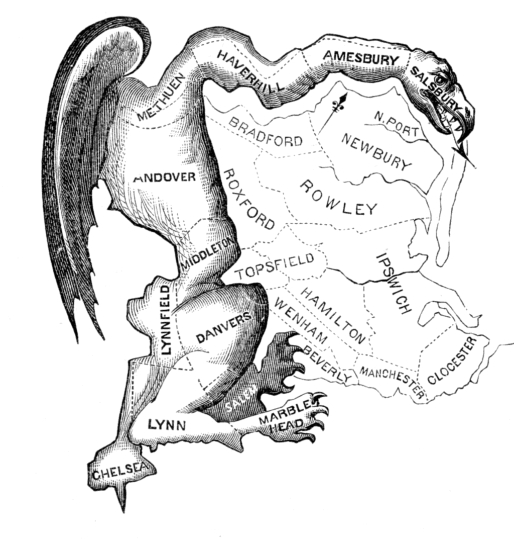
GIS and Gerrymandering
GIS can be used to detect and also assist in gerrymandering when developing new district maps.

When Predictions Match Reality: The Power of LiDAR for Flood Warnings
LiDAR data is being used to develop highly accurate elevation-enabled flood inundation mapping in advance of major storms in North Carolina.

Is the Newly Revised Geospatial Data Act Worth Supporting?
Anthony Calamito, Chief Geospatial Officer of Boundless, explains why Boundless stands behind the new Geospatial Data Act.
The Rise of Femtosatellites
Femtosatellites, very small-scale satellites (weighing less than 100 grams / 0.22 lbs), have developed over the last fifteen years thanks to advances in nanotechnology.

Rapid Response Monitoring Tools
With rapid data access, new vehicles and tools that can go almost anywhere (e.g., such as unmanned aerial vehicles), and more efficient computing, we are witnessing an age of rapid response monitoring that addresses environmental and social problems as they develop.

Will 2017 be Remembered as a Stellar Time for Earth Observation?
Joe Francica, Managing Director Location Intelligence Solutions with Pitney Bowes discusses the growth and direction of Earth Observation satellites.