
climate change

Review | Drought, Flood, Fire: How Climate Change Contributes to Catastrophes
"Drought, Flood, Fire: How Climate Change Contributes to Catastrophes" is written by a scientist who understands how to meaningfully inform his non-scientist readers.

The Sonoran Desert is Losing Plants Due to Climate Change
Between 1984 and 2017, a team of researchers utilized Landsat imagery to examine changes in vegetation in the Colorado Desert in Southern California.

Coldest Temperature of Clouds Recorded by a Satellite
Researchers measured the coldest temperature ever recorded by a satellite of a cloud.

Climate Change and the Expansion of Ghost Forests
Along the geography of the East Coast of the United States, large swathes of forest are declining at increasing rates.

Climate Change is Increasing Post-Wildfire Landslides in Southern California
A recently published study has forecasted that climate change is driving increased wildfire and landslide risk in Southern California.

Climate Change is Shrinking Forests in North America
The impact of climate change is reducing the amount of habitat where the trees of North America can thrive.

Flooding Can Help Protect Wetlands From Climate Change
Targeted flooding may be one tool that conservationists and wetland restoration specialists have to make wetland areas more resilient in the face of climate change.

The Use of Gravimetry Satellites for Measuring Ice and Sea Level Change
Satellites now allow researchers to make more accurate mass measurements to large areas covered by ice and understand the effects of snow and ice melt on sea level change.

Rapid Growth Shortens Trees’ Lifespans – and Adds to the Climate Crisis
Researchers have found that trees growing faster due to warming conditions are also dying faster.

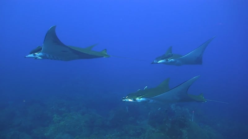
Ocean Warming is Driving the Wrong-Way Migration of Some Benthic Species
Some benthic species are spawning earlier due to ocean warming.

Mapping Climate Refuges
Climate refugia are places which can withstand climate change better than other regions and buffer the impacts of climate change.

Why Is Antarctica’s Snow Turning Green?
The coasts of the northern Antarctic Peninsula are seasonally turning green, orange, and red - all thanks to microscopic algae.

Improving Urban Decision Making with Open Earth Observations
Steven Ramage, Head of External Relations, Group on Earth Observations (GEO), outlines innovative partnerships and activities GEO has been working on globally using open Earth data, GIS, and cloud technologies.
Marine Species are Shifting Towards the Poles
A review of research found that marine species were shifting their habitats toward Earth’s poles on an average of six kilometers (3.7 miles) per year.

2019 Was a Tumultuous Fire Season in the Amazon
Scientists and researchers have pieced together the many impacts the 2019 Amazon fire season had on that region and the world as a whole.

Coastal Ice Loss is Outpacing Mainland Ice Gains on Both Antarctica and Greenland
A recent study has confirmed that the coastal ice loss is much greater than the mainland ice gain on both Antarctica and Greenland.

Study Estimates That 3 Billion People Will Be Living In Extreme Heat By 2070
Researchers used data from UN population projections to map out how a three-degree warming scenario will translate into temperature changes for the world's population.

2020 Hurricane Season is Likely to be More Active Than Usual
A newly released hurricane outlook from the Weather Channel expects the upcoming 2020 hurricane season to be more active than normal.

As the Ozone Layer Recovers it is Changing Wind Patterns
Researchers from the University of Montreal used satellite data and climate modeling to understand how the recovery of the ozone layer has affected the Earth's atmosphere.
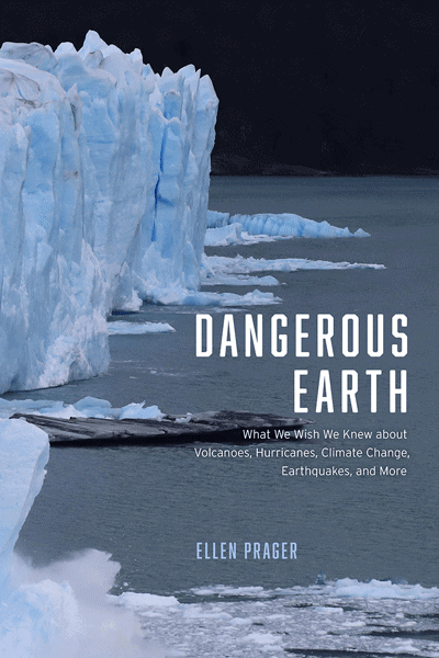
Review | Dangerous Earth
G.T. Dempsey reviews Ellen Prager's Dangerous Earth: What We Wish We Knew about Volcanoes, Hurricanes, Climate Change, Earthquakes, and More.

Higher Carbon Dioxide Makes Grasslands Less Nutritious for Grasshoppers
One group of researchers looked at more than 40 species of grasshopper in the Konza Prairie in Kansas to see the effect of changing plant nutrients on insect populations.
Oceans Are Warming 40 Percent Faster Than Previously Estimated
A review of available studies, published in Science in January 2019, has revealed that the rate of ocean warming is as much as 40% faster than that suggested by IPCC.

Mapping the Entire Surface of the Earth with LiDAR
A project called the Earth Archive plans to use Light Detection And Ranging (LiDAR) to map the entire surface of the Earth.

Satellites Give Detailed Insights into Climate Sciences
The European Space Agency has recently released a report entitled ‘10 New Insights in Climate Science’.

Is Climate Change Bringing Back Prehistoric Redwood Trees?
Because of global warming, the Dawn redwood might unexpectedly make it back to the wilderness of its ancient habitats in North America.

Spring Bird Migration is Happening Earlier for Some Birds
With changes in temperature due to climate change, researchers looking at 24 years of radar data from the National Oceanic and Atmospheric Administration (NOAA) have found that migrating birds were more likely to arrive at certain stops earlier than they would have twenty years ago.