
Elizabeth Borneman

What is Exo-cartography? Mapping the Climate and Surface of Exoplanets
Exo-cartography or extrasolar cartography is the science of mapping planets that are outside of Earth’s solar system.

Urban Heat Islands
Urban heat islands are places in the world that have higher temperatures than the locations around them. These urban heat ...

What is a Map?
A map is something we’ve all likely held in our hands, scratched our heads over or marked with pushpins to ...

Ten Things to Know About the World’s Population
Here are 10 of the most interesting facts about the world population from the past, present, and what they can mean for the future.

Geography of Industry in the US
Mapping the geographical distribution of industries in the US can provide valuable insights into the economy, opportunities for growth, and potential investment areas for scientists, economists, and the general public.

Urban Prairies
An urban prairie is a piece of urban land located within a city that has reverted back to green space through neglect, purposeful action, or a lack of management.

The Intersection of Health Sciences and Geography
Geography can often play a very large role in the health concerns of certain populations.

Unique Features of the Australasian Geographic Zone
Australasia is a unique geographical and ecological zone compromised of Australia, New Zealand, New Guinea, and other small islands nearby.

Introduction to Climate Change
Changes that are normally brought about by climatic variations have caused major environmental concerns worldwide. These changes without doubt bring ...
How Deforestation Affects Physical Geography
Deforestation is a problem we are likely all familiar with, even in passing. We drive or walk by small or ...

How Rivers Change the Landscape
Rivers twist and turn, shaping the environment around them just as the physical geography of the surrounding landscape shapes them.

Volcanoes and Glaciers in Iceland
Iceland is a country of varied geography, topography, and landscape.

GIS and Gaming
This article delves into the convergence of GIS and the video game industry, exploring their existing partnership and mutual benefits.
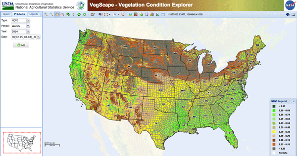
Use of GIS in Agriculture
By using GIS to map current (and potential) farmland scientists and farmers can work together to create more effective and efficient farming techniques.

Changing Geography of the Dead Sea
We’ve all seen the pictures- tourists floating in a picturesque lake surrounded by a mountainous desert environment, calmly reading flipping ...

Cartographic Anomalies: How Map Projections Have Shaped Our Perceptions of the World
Elizabeth Borneman explores how cartography and cartographic projections help and hinder our perception of the world.

The Grand Canyon
The Grand Canyon is one of America’s most beloved and well-known geographical wonders and is visited by millions of people every year.

Recent Advances in GIS Technology
This article examines recent GIS technology advancements, such as crowdsourcing, cloud-based systems, and the potential of 4D GIS.