
Articles

GIS Tutorial for Python Scripting
GIS Tutorial for Python Scripting is a new release from Esri Press. This workbook contains hands-on programming exercises to familiarize GIS users ...
Esri Launches GeoNet
Timing its announcement with the start of the annual Esri International User Conference, Esri has announced the launch of GeoNet, ...

Longest and Shortest Geographical Names in the World
Learn about the longest and short names for geographical locations in the world.

Urban Prairies
An urban prairie is a piece of urban land located within a city that has reverted back to green space through neglect, purposeful action, or a lack of management.

USGS Report on the Uses and Benefits of Landsat Imagery in Water Resources
The USGS recently published a report looking at case studies of Landsat Imagery use in water resource management within public ...

Esri Releases Explorer for ArcGIS for Mac OS
Data viewer from Esri for MacOS which offers limited functionality to "access maps, search for and visualize data."

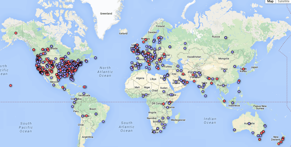
Help Find Invasive Weeds in Hawaii
Tomnod, which previously helped with crowdsourcing the search for the missing Malaysian Airlines flight, has teamed up with the Nature Conservancy ...

Topographical Tables – Geography as Art
These furniture designs combine glass, wood, and other materials to emulate the land and water. Ocean Table Christopher Duff of ...

Map Traps: Intentional Mapping Errors to Combat Plagiarism
Mapmakers have been known to create trap streets, which are fictional streets inserted on a map with the intention of fighting plagiarism.

Top Five Things to Do in Romania
The true beauty and authenticity of Romania, its wild and pristine natural environment, the rich cultural heritage and many more advantages are drawing more travelers than ever.

Explore Maps of the United States from 1884 to 2006
The U.S. Geological Survey and Esri are working together to make over 178,000 maps of the United States available to the public via an ...

What is a Pole of Inaccessibility?
A pole of inaccessibility is a geographical point that represents the most remote place to reach in a given area, often based on distance from the nearest coastline.

Where Can You Travel On Your Passport?
How easily you can travel across the world is determined on your passport's listed nationality.

GIS Data of the World’s Wetlands
There are currently 2,185 sites worldwide that the Ramsar Convention considers to be wetlands of international importance representing over 208,597,750 hectares. GIS Data for Ramsar sites is available from Wetlands International.

Rud-e-Gaz and Rud-e-Hara Wetlands, Iran
This satellite image captured of southern Iran shows what an arid and inhospitable area most of this region is.
Gender in the GIS Workforce
This article takes a look at the state of gender balance in the GIS industry.

The Great Inversion – Cities That Are Outpacing Their Suburbs
The rise of the suburbs and the declining urban city which dominated much of American growth in the last half of the Twentieth century is reversing course.

What is Tourism Geography?
By the 1950s, tourism geography began to be accepted as its own domain, especially in scientific works from USA and Germany.

How the Earth’s Magnetic Field is Changing
The ESA recently released the results of data collection from Swarm from the past six months that analyzed changes in the Earth's magnetic field.

Using Google Street View to Track Urban Decay
The Michigan city of Detroit has an estimated 20 square miles of vacant, abandoned and underused land.

Statistics for Thematic Cartography
The Geographic Information Technology Training Alliance (GITTA) has an online lesson plan that provides some helpful information about creating thematic maps. ...

Tule Fog Declining in California’s Central Valley
A group of researchers analyzed satellite imagery over a 33 year span to establish an understanding of the fog climatology in the Central Valley.

Access CryoSat-2 Ice and Ocean Data Products
CryoSat-2 has been collecting data since its launch in 2010, allowing scientists to better understand changes in the thickness of polar sea ice, the elevation of the ice sheets that blanket Greenland and Antarctica, and mountain glaciers.

Tonle Sap Lake – One of the World’s Most Productive Freshwater Ecosystems
Located in Central Cambodia, Tonle Sap Lake is the largest lake in Cambodia and is considered one of the world's most productive freshwater ecosystems.

Where is the Only Area in Europe Where no Borders Exist?
Lake Constance's shoreline touches three different countries: Germany to the north, Switzerland to the south and Austria at its eastern end. The water body itself contains no borders since there is no legally binding agreement between the three countries.

Mapping Time: A Detailed Look at Minard’s Flow Map
Mapping Time: Illustrated by Minard’s Map of Napoleon’s Russian Campaign of 1812 combines historical and geographic analysis with cartography to examine mapping change over time.