
GIS Software
Information about GIS software and applications including both commercial and open source GIS applications. This category covers desktop GIS (Esri’s ArcGIS suite, MapInfo, QGIS, and GRASS) as well as web mapping, GIS apps, mobile GIS, and component GIS.
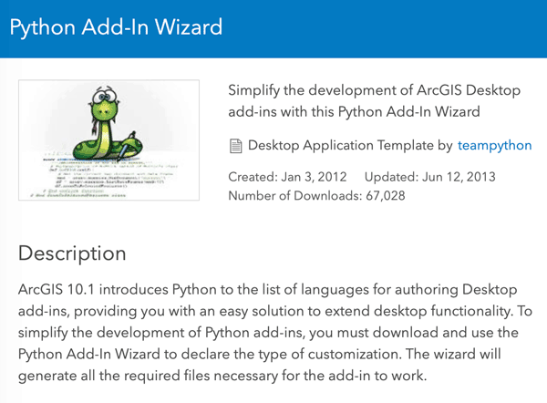
Customize ArcMap with Python Add-Ins
Daniel Fourquet walks users through the process of using Python to create Add-Ins for ArcMap.
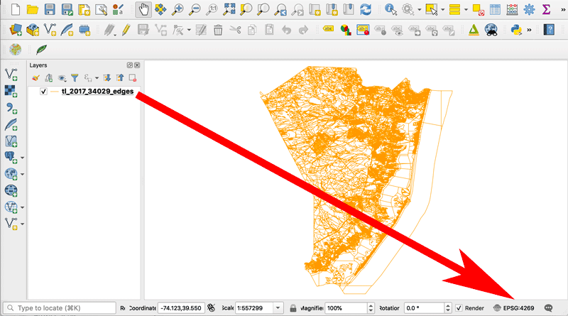
How to Change the Projection of a Shapefile Using QGIS
If you know your shapefile's beginning coordinate system or projection, you can export the data using QGIS.

A Case Study on Converting a Geodatabase From ArcGIS for Use in QGIS
In this article Charles Altendorf outlines a method he developed to convert GIS data located in a geodatabase created in ArcGIS into open source data that can be used in QGIS.

Latest Release of ArcGIS Online Introduces New Features and Enhanced Capabilities
Bernard Szukalski, Esri tech evangelist and product strategist, introduces new features and enhancements to the latest release of ArcGIS Online.

LandViewer Has Added New Remote Sensing and Satellite Imagery Analytics
This article by EOS, a company which creates solutions for Earth observation imagery processing and analysis, introduces a host of updated capabilities in its LandViewer tool.

How To Use the Equal Earth Projection With QGIS on the Mac
Here are a few short steps to set up the Equal Earth map projection in QGIS.

How to Change the Label Language When Using Natural Earth’s Quick Start QGIS Files
One quirk with the version 3 of the Natural Earth quick start kit .qgs file is that when you load it in to a session of QGIS, it can display labels in a language you weren't expecting.

How to Use the Equal Earth Map Projection in Different GIS and Mapping Software Applications
Listed here are GIS and mapping resources that have incorporated the Equal Earth Map Projection.

How to Get the Map View in QGIS to Resize Properly on a Mac
One Mac OS specific bug is the map view canvas doesn't fill the available space in QGIS 3.x versions. Learn how to fix this.

Guardacostas Pro: Tracking Illegal Vessels
Argentina’s coast guard, or the Prefectura Naval Argentina will utilize Esri’s platform to create a new, real-time tracking system, aptly titled “Guardacoastas Pro.”
How Plex.Earth is Used in Teaching: An Interview With Professor Martin Cajade
Eleni Natsi of Plexscape interviewed Martin Cajade, a FADU faculty member at the University of the Republic in Uruguay, on his students' use of PlexEarth as a data mining tool.

A Story Map Journalism Experience
Eudel Cepero shares his experience developing a popular story map for Diario de Cuba using ArcGIS Online.
Run Image Processing Tasks in Your Browser with the EOS Platform
This guest article by EOS introduces the newly upgraded EOS platform, a set of mutually integrated cloud products for searching, analyzing, storing, and visualizing geospatial data: Landviewer, Processing, Vision, Storage.

How to Use the Color Blind Preview Option in QGIS
With the release of QGIS 3, you can now preview how your maps will look for those with two types of red-green color blindness.

Viz Palette Helps You Pick Colors for Your Maps and Data Visualizations
There's a new color picker tool to help with selecting a palette for data visualizations.

What is a MXD File?
Files with the extension .mxd are ArcMap document files and stands for Map Exchange Document.

Adding “Early Voting Wait Time” Information to a Layer in ArcGIS.com
Tracy Garrison outlines an example of how a “County” might provide current early voting wait times to the public with ArcGIS.com and coding.
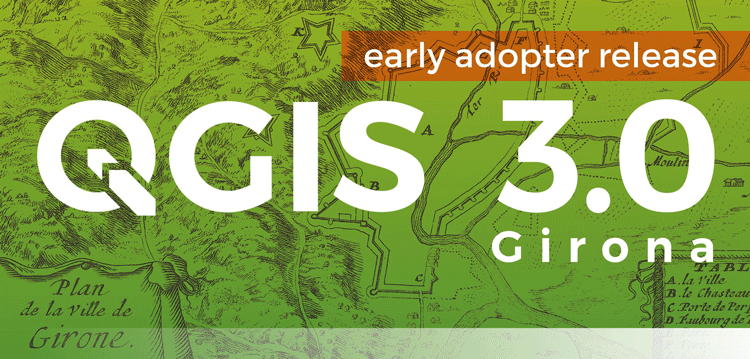
QGIS 3.0 Released
Version 3.0 of QGIS, the popular free and open source GIS software, was released today.
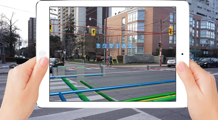
Holographic GIS
As mobile and handheld devices increasingly use virtual reality and augmented reality applications, GIS has been incorporated to deploy spatial databases that apply holographic capabilities.

Free GIS Data Viewers
Free data viewers for a variety of GIS data formats. These viewers allow you to display geographic data as well as perform some basic GIS functions.

How to Geocode Addresses Using QGIS
If you have a CSV formatted file containing addresses, you can take advantage of QGIS to map out those addresses. This article contains step by step instructions for geocoding addresses using QGIS.

Where is Open Source GIS Going?
Mark Altaweel discusses the growth and direction of open source GIS tools and software in this opinion piece.

OpenRouteService’s ‘Quiet Routing’ Creates a Less Stressful Route for Pedestrians
Prof. Dr. Alexander Zipf introduces OpenRouteService's experimental routing option 'Quiet Routing' which guides pedestrian travel around noisy urban areas.

Dress Up Your QGIS Install With this Whimsical Plugin
The QGIS hats plugin is a bit of fun that accomplishes no other purpose than to add a hat to the QGIS icon.

How to Make a Map in Excel Using the 3D Map Add-in
This tutorial by Nick Williams provides an overview of how to create a map in Excel using 3D Map for Excel 2016 (or Power Map for Excel 2013).

Using Free and Open Source GIS to Support Natural Resource Management in the Developing World
Rohan Fisher describes his GIS work for decentralized, evidence-based resource management in developing nations.