
Caitlin Dempsey

The Last U.S. Stand of the Key Largo Tree Cactus Has Vanished
The Key Largo tree cactus is now extinct in Florida, highlighting the vulnerability of coastal species to climate change and sea level rise.

Slope Steepness and the Formation of Single-sided River Tributaries
Steep slopes cause water to flow more quickly, increasing erosion and carving channels that eventually form tributaries.

Shifting Sea Ice is Making Sailing Ships Through the Northwest Passage More Difficult
Southward drifting ice is clogging the Northwest Passage, shortening the shipping season despite Arctic sea ice decline.

Nilas: Understanding the Early Stages of Sea Ice Formation
Early sea ice forms as frazil crystals, which merge into thin, streaky layers called nilas, influenced by winds and ocean currents in polar regions.

Learn How to Read a Map
Map reading is the skill of interpreting and understanding the geographic details and information shown on a map.

Number of “Dees” in a Chickadee’s Alarm Call is Related to the Danger Level of Nearby Predators
The number of "dees" in a chickadee's alarm call correlates with the size and threat level of the predator.

What are the Earth System’s Four Spheres?
The systems of the earth can be divided into two main areas: geosphere and biosphere.

Using Seals to Track Ocean Currents
By tagging seals with specialized sensors, researchers can map Antarctic ocean currents, heat distribution, and assess the health of marine ecosystems.

Tracking Mercury With Dragonflies
Published research mapped mercury levels in dragonfly larvae from 73 U.S. parks, revealing how the metal accumulates in the environment.

Hydrothermal Explosions
Hydrothermal explosions are dramatic, natural events that occur when superheated water and steam are suddenly released from beneath the Earth's surface.

How Undular Bores Show Up in the Clouds
Undular bores create distinctive wave-like cloud patterns, such as morning glory clouds, by pushing warm air upward.

Urbanization is Shortening the Legs of Western Fence Lizards
Western fence lizards have adapted to manmade surfaces in urban areas by developing shorter limbs and toes.

Most Abundant Landbird in the United States and Canada
The American robin has the largest population among all landbirds in the United States and Canada.

Which States Have the Highest Percentage of Water Area?
Water shapes U.S. states' geography and ecosystems. Which states have the highest and lowest percentages of area covered by perennial water?

These Two Countries are Separated by 2.4 Miles and 21 Hours
There exists a geographic point where two of the largest countries in the world are only separated by a 2.4 miles but are 21 hours apart.

Why Do Squirrels Lie Flat?
There are several reasons for why squirrels will lie flat on the ground, a patio railing, or tree branch.
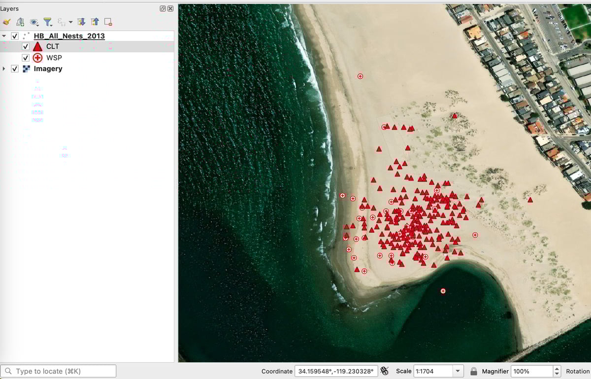
How to Find the URL to an ArcGIS Online Web Map and Add it to QGIS
Learn how to find URLs for older feature and map servers hosted on ArcGIS Online so they can be added to QGIS.

Chorology and Chorography
Chorology examines places and regions, often known as regional geography, while chorography focuses on describing or mapping those regions.

How to Use Esri File Geodatabases in QGIS
Learn how to load both Esri vector and raster file geodatabases in QGIS.

Little Known QGIS Parlor Tricks
The coordinate box in QGIS is one place where you can uncover neat little GIS mapping tricks.

How to Install QGIS on a Mac Computer
Follow these step-by-step instructions on how to install QGIS on a Mac.

What to Know About Absolute and Relative Location
Understand absolute and relative location: absolute uses coordinates or fixed points, while relative describes a place in relation to another location.

Witness Posts
Witness posts are signs that alert visitors to the presence of a nearby survey marker.

Witch’s Broom in Trees: Dense Clump of Leaves and Branches
Witch's broom affects trees like birch, spruce, and pine, causing dense twig and leaf clusters due to pathogens, parasites, and environmental stressors.

Mapping Heatwaves from Space: How Extreme Temperatures Are Modeled
The Goddard Earth Observing System (GEOS) model can help researchers predict and map heatwaves around the world.

Venezuela Becomes the First Country to Lose its Glaciers
Venezuela became the first country to lose all of its glaciers as the last remaining ice on Pico Humboldt shrank to less than two hectares.