
Elizabeth Borneman

Sensing Longitude Among Birds
A study has shown that the Eurasian reed warbler is able to sense magnetic declination and use that information to determine their migratory flight path.

The Brain Never Stops Making Maps
Researchers have found that even while they sleep, the internal maps of rats stay intact which enhances mental mapping.

Mapping Global Forest Biomass
The European Space Agency is using satellite radar data collected from their satellites to measure how much wood is in the world’s forests globally.

Creating a Time Series Visualization of Two Decades of Changes in a Glacier
NASA has created a time series visualization of Greenland’s Helheim Glacier using 20 years of data from radar, lasers, and high-resolution cameras.
Tissot’s Indicatrix: Measuring Distortion in Map Projections
Tissot’s indicatrix is a mathematical contrivance used in cartography to characterize local distortions in map projections.

Animated Map Shows Animal and Bird Migrations
Scientists modelled animal migrations based on global climate change patterns and created a map that showed potential future migrations of different species in North, Central, and South America.
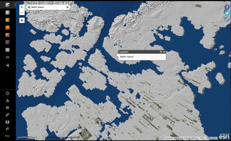
View Arctic Elevation Data with ArcDem Explorer
ArcticDEM is a project that is working to produce digital elevation models of the Arctic in order to see how topographical changes are occurring over time, such as the rate at which glaciers are receding.

3D Model of the Movement of Carbon Dioxide Through Earth’s Atmosphere
NASA has created a model of the way carbon dioxide moves through Earth’s atmosphere.

Jason-2 Satellite to Help Improve Maps of Sea Floor
Jason-2 will be collecting data about the sea floor every 5 miles, which will be used to create a high-definition estimate of the average surface height of the ocean in various places around the globe.

One of the Largest Atlases in the World is Accessible Online
One of the largest atlases in the world, the Klencke Atlas dating from the 1660s, was digitized by the British Library and is now viewable online.

Tree Migration Direction Affected by Climate Change
Ecologists have found that climate change, as it changes precipitation levels and temperatures, is causing trees to grow in different locations than they have traditionally taken root.

A Jet Stream in the Middle of the Earth
Researchers from the University of Leeds published an article in the journal Nature GeoScience with data gathered by the Swarm satellites that reveals the existence of a molten core jet stream using changes in the magnetic field.

This Map Lets You Find the Best Cloud-Free Location to View the 2017 Solar Eclipse in the United States
This year a total solar eclipse will occur on August 21st, and will be visible from many states in the United States. The total solar eclipse will be visible in a path from Oregon to South Carolina.

Coral Bleaching of the Great Barrier Reef
The Great Barrier Reef has undergone two severe bleaching events in successive years. This has been caused by the warming of the oceans due to climate change.

Knowing Geography Makes You More in Favor of Diplomacy
An increase in knowledge of global geography helps put into perspective greater events occurring around the world and makes the person more likely to favor diplomacy.

Using Satellites to Monitor Terrestrial Gamma Ray Flashes
The production of gamma rays that can be seen by satellites are called terrestrial gamma ray flashes, or TGFs.

Mapping Urban Vacancy
Nicholas de Monchaux, an urban design professor at UC Berkeley, has designed a project called Local Code that maps the underused sites in a city’s infrastructure and analyses how these spaces could be used to improve the local ecology.

Adonis: Europe’s Oldest Known Living Tree
A 1,075-year old pine tree known as Adonis is believed to be the oldest tree in Europe.

Great Elephant Census
The group called Elephants Without Borders has recently finished a two-year survey of African elephants across the entire continent, known as the Great Elephant Census (GEC).

Find Ocean Features with this Directory
The GEBCO Undersea Features Gazetteer lets users find information about ocean features.
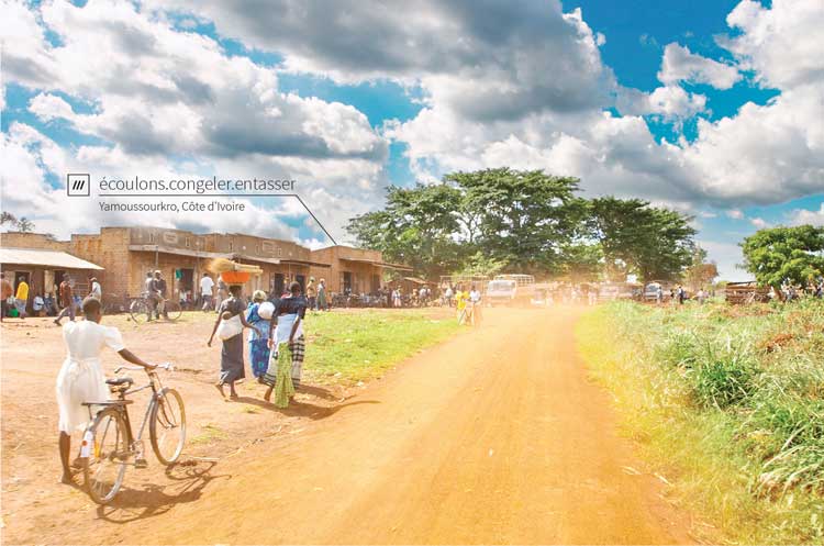
How Three Random Words are Helping with Global Mail Delivery
What3Words has come up with a way of accurately delivering mail even in locations where street addresses don't exist.

Mapping Rainforest Chemistry
Researchers mapped 23 chemicals that are released by the rainforests in Peru with laser-guided imaging spectroscopy.

A New Algorithm to Find Wildfires When It’s Cloudy
New technology called the Firelight Detection Algorithm, or FILDA, can help detect wildfires at night even when the skies are cloudy.

Defining Urban Sprawl
The urban sprawl concept caused researchers to dive into figuring out what city in the world is the biggest based on the size of its urban sprawl.
Early Data Visualization Pioneers
RJ Andrews created DataViz based on his collected notes to provide readers with insight into five of the earlier pioneers of data visualization.

Global Landslide Susceptibility Map Highlights Overlooked Regions of the World
NASA satellites and imagery can detect where in the world landslides are likely to occur based on geographical features and the amount of precipitation that has fallen in the area.