
Mark Altaweel

Open Geospatial Standards
The creation of geospatial standards is critical for sharing data among different technologies and industries.

Autonomous UAVs and Geospatial Data
Autonomous UAVs are already performing a variety of tasks using geospatial data obtained in-flight.

OpenStreetMap: One of the World’s Largest Collaborative Geospatial Projects
OpenStreetMap is a community project with the goal of mapping the world using a crowdsourcing, collaborative method.

Mapping Schools with Artificial Intelligence
Researchers are using AI to map schools in countries where many schools are undocumented so as to connect children with schools.
A Look at Google Earth Engine
In a MapScaping podcast episode, Quisheng Wu discusses Google Earth Engine how it allows users to share and upload their own geospatial analyses.

How Maps Affect Perception
Maps are both a great tool for telling us an important message but they can also be a key part of false narratives or misleading information.

Synthetic-Aperture Radar (SAR), Earth Observation, and Mapping
Synthetic-Aperture Radar (SAR) is becoming more widely available and increasingly part of Earth observation satellites.

From GIS Analyst to Software Engineer
In a MapScaping podcast, Dan Mahr talks about how he was able to transition to a software engineer, but still use his GIS skills to benefit his career.

Using GIS to Explore Mars
Esri’s Explore Mars site allows you to explore the surface of Mars and make some basic geospatial measurements.

Monitoring Vegetation Regrowth After Fire With Remote Sensing
Synthetic-aperture radar (SAR) is being used to map post-fire vegetation recovery.

Building a 4D World
VoxelMaps describes how they are creating a global 4D map that can capture outdoor and indoor spaces at different spatial and temporal scales.

Mapping Forest Carbon Cycles
A recent research project uses geospatial technologies as a way to better assess the role that forests play in the global carbon budget.

Mentoring, Leadership, and Building Skills in the Geospatial Community
Leaders in the geospatial community can help to foster key skills through mentoring and developer a stronger community.
The “Bystander Effect” With Crowdsourcing GIS Data
A recent research article found that users are less inclined to contribute to crowdsourced geospatial sites like OpenStreetMap and Waze if they know others are already contributing.
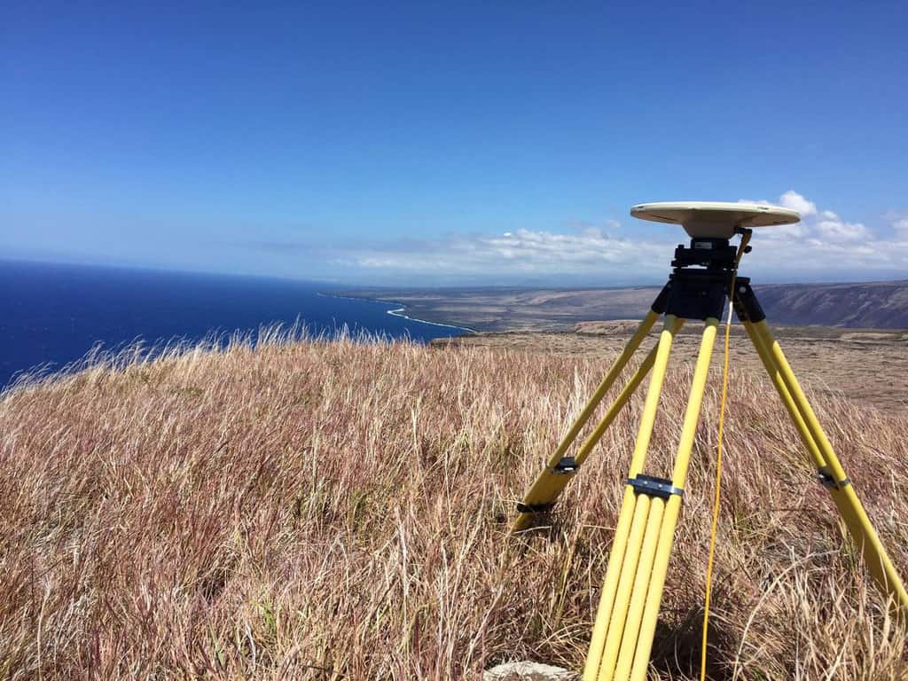
The Past, Present, and Future of GNSS
The Global Navigation Satellite System (GNSS) has emerged as the standard navigation system that provides global positioning for devices we use every day.

Atlas of the Human Planet: Free GIS Data and Tools
The Atlas of the Human Planet 2020 provides GIS Data for research, policy, and action that can be used to document the presence of humanity on Earth.

Mapping the Ocean Floor by 2030
A MapScaping podcast episode with NOAA's Samuel Greenaway discusses how mapping the seafloor will be a major challenge this decade.

Mapping Ground Subsidence
Synthetic Aperture Radar (SAR) can map subtle differences in the rates of subsidence.

The Geography Behind Being a GIS Professional
In a recent GIS podcast, Sarah Taigel discusses how being a professional geographer can provide key advantages to using GIS analysis.

Augmented Reality and Computer Vision in Navigation
The use and field of AR and computer vision are rapidly changing in how these technologies are being used in navigation.

Spatially Intelligent Warehouses
The adoption of warehouse spatial intelligence (WSI) can help to reduce waste, producing mainly what we need rather than over producing while ensuring needed products can reach consumers more quickly.

Benefits of Satellite-Based Augmentation Systems
Satellite-Based augmentation system (SBAS) services provide capabilities to improve location data for global positioning system (GPS) devices.

How the Biotech Industry is Using Spatial Analysis
The biotech industry is using spatial analysis as part of its efforts to develop rapid medical advancements that can help fight some of our most challenging diseases.

New Developments in UAVs
2021 promises new changes that are set to shakeup UAVs and their use in future years.

Openlayers: Geospatial JavaScript Library
One of the most under-utilized programming languages in geospatial analysis and processing is JavaScript.

Businesses Using Open Source GIS
Businesses are using open source GIS software, finding that there are a lot of benefits along the way.