
Geography is divided into two main branches: human geography and physical geography.
There are additional branches in geography such as regional geography, cartography, and integrated geography (also known as environmental geography).
Learn about the different branches of geography in this article.
Human Geography
This is one of the major branches in geography and it mainly covers studies of the human race. More: Sub-branches of Human Geography
This normally involves understanding a human population’s backgrounds, how the interactions and the perceptions that members of that human population have for various ideologies affecting them.
In addition to this, the discipline also studies the way in which the groups of people that inhabit the Earth organize themselves in the particular regions that they inhabit.

As a matter of fact, many other branches of geography normally fall under human geography.
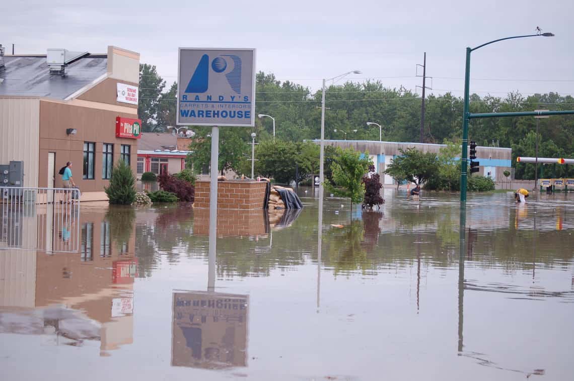
Modern applications of human geography can include mapping human migration, showing the movement of food resources and how they impact communities, and the impacts climate change can have on humans living in vulnerable areas.
What are some examples of human geography?
Here are some example of disciplines in human geography:
- cultural geography
- economic geography
- health geography
- historical geography
- political geography
- population geography
- rural geography
- social geography
- transport geography
- urban geography

More: Sub-branches of human geography.
Human Geography Articles
- The Wildland Urban Interface is Growing in the United States
- Types of Agricultural Patterns Visible from Space
- Geography of Happiness
- Geography of Heavy Metal Bands
- Von Thünen Model of Agricultural Land Use
Also: What is the AP Human Geography Exam?
Physical Geography
Physical geography is a major branch of the science of geography, and it mainly deals with the study of the natural characteristics of the Earth. Related: Sub-branches of Physical Geography
It covers both features that are on the Earth’s surface as well as those near it.
Physical geography allows us to chart landmasses, but physical geography is also being used to see what lies beneath the Earth’s ice caps and oceans.

Researchers are using satellite technology to see the landmass that exists under Antarctica; additionally, there is work that continues to be done to explore and map the physical makeup of the land underneath our oceans.
What are some examples of physical geography?
Some examples of disciplines studies in physical geography are:
- geomorphology
- climatology
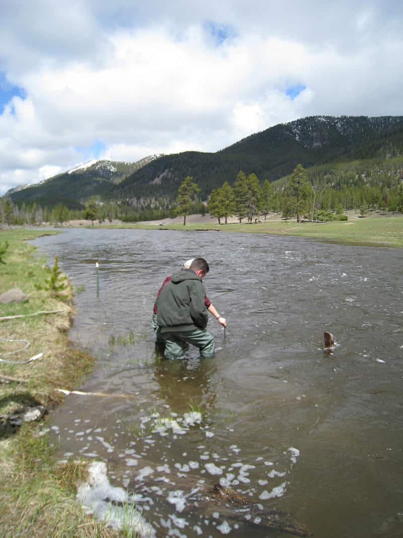
- hydrology
- biogeography
Physical Geography Articles
- How El Niño and La Niña Affect Rain in the United States
- Sand Dunes in the United States
- Geography of Saharan Dust: Where and How Does it Travel?
- Introduction to Wildlife Corridors
- The Growth of Crows in Cities
More: Sub-branches of Physical Geography.
Integrated Geography
Integrated geography can also be known as environmental geography, or human-environment geography. Integrated geography takes human and physical geographic issues and molds them together.
This area of geography is useful for connecting humans and the impacts we have on our natural environment.
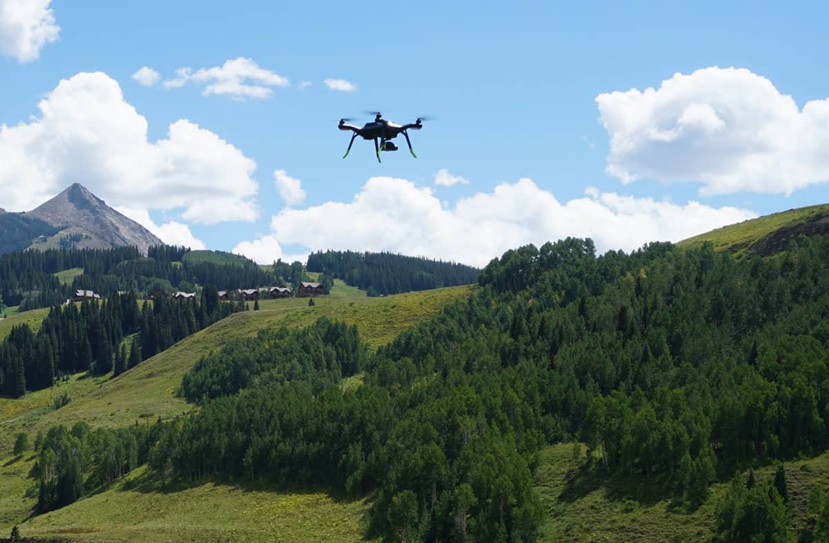
GIS and remote sensing technologies can be used to show where humans have physically altered an environmental landscape. Drones, LiDAR, earth observation satellites, and aerial photography are all technologies that geographers have used to help them study the Earth.
For example, we can pinpoint where Iraqi wetlands have dried up due to overuse of the water resources there, and where conservation efforts have succeeded in renewing some of these wetlands more recently.

Integrated geography can be used to explore humanity’s relation to the Earth as well as the Earth’s relationship to people.
Integrated Geography Articles
- Global Landslide Susceptibility Map Highlights Overlooked Regions of the World
- Mapping Out California’s Methane Emissions
Regional Geography
Rather than look at geography on a global scale, regional geography breaks the science down into more specific areas.
Regional geography looks at cultural and natural aspects of geography that are unique to a particular place. Regional geography could include parceling out locations by looking at different watersheds, or just looking at coastal areas, and so on.

The most common example of regional geography is by country.
We take the borders that have been drawn out and look within those borders. Often the human geography contained within those countries is much more varied and diverse than we expect.
Natural borders such as rivers, mountain passes, or other large bodies of water often impact where borders are drawn.

An understanding of political and cultural factors in regional geography can help paint a clearer picture, too.
Regional Geography Articles
- How the Commutes of 130 Million Commuters Reveals Megaregions in the United States
- Spatial Analysis of Inflation and the Impact of the Pandemic
- How Ocean Currents Move Pollution Around the World
- NASA Completes the First Global Survey of Fluctuations in Lakes and Reservoirs
- Climate Change and the Expansion of Ghost Forests
Geomatics
Geomatics is most closely related to GIS (Geographic Information Systems) and other geospatial sciences.
Geomatic engineers work to collect, distribute, store, analyze, process, and present data that they have gathered with regards to geographic information.

Geomatics uses different technologies to assist with the above goals. Jobs that work with geomatics can include urban planners, land surveys, space exploration, agriculture, and geomarketing.
Geomatics Articles
- 53% of U.S. Ocean, Coastal, and Great Lakes Waters are Unmapped
- Mapping Trees in West Africa
- Track Real-Time Air Pollution With this Crowdsourced Map
Cartography
Geographers who study cartography are usually more involved in the mapping of things. In general, every geographer must have the essential knowledge that is required in displaying data on maps.
Cartography focuses on ways in which the entire mapping procedure can be technologically advanced by creating maps that are generally of higher quality.

On a conclusive note, geography is a very wide subject and this is why it is comprised of numerous sub-disciplines within it.
There are other branches within this science that have not been discussed, and some of the notable ones include: geographic education, historical geography, GIS (Geographic Information Systems), remote sensing, and quantitative methods.
There are some branches in geography that are generally interrelated to others, but there are other branches that have very different principalities in place.
Cartography Articles
- California as an Island
- What Was the First Map Issued by the Ordnance Survey?
- Ten Reasons Why Spatial Data Quality Matters More Now Than Ever
- Review: Time in Maps
- Teaching Geography Through Map Samplers
Related Resources on Geography
- Sub-branches of Physical Geography
- Sub-branches of Human Geography
- Why geography?
- Five Themes of Geography
This article was co-written with Caitlin Dempsey.