
Physical Geography
Physical geography focuses on geography as an Earth science (and is sometimes called Earth System Science).
Physical geography is a branch of geography that focuses on the study of the natural features and processes of the Earth’s surface. It includes the examination of landforms, climate, vegetation, soils, and water resources. Physical geographers use a range of scientific methods and tools to analyze and understand the complex interactions between the Earth’s physical systems.
Learn about the different branches of geography that fall under the physical geography category: climatology, geomorphology, biogeography, and more.

Early Wildfires in New Mexico
Wildfires in New Mexico are are starting earlier each year due to warmer and drier conditions.

Geography Facts About the Atlantic Ocean
The Atlantic Ocean, named after the Greek god Atlas, is the second-largest ocean in the world.

Bewick’s Wren
The Bewick's Wren (Thryomanes bewickii) is a small songbird native to North America.

Geography of Saharan Dust: Where and How Does it Travel?
The Saharan Desert produces vast amounts of atmospheric dust, which is carried and deposited thousands of kilometers away by strong winds traveling over great distances.

Endemic, Native, Non-native, and Invasive Species
Learn what the terms endemic, native, non-native, or invasive mean for animals and plants.

Study: Afforestation Can Lead to More Cloud Cover
Increased forest cover can lead to more low lying clouds which helps to cool the Earth.

Arctic Circle
The Arctic Circle is a circle of latitude encompassing the northernmost pole of the Earth and is located at approximately 66°33′45.6″ north of the Equator.

Cloud Streets
Cloud streets are cumulus clouds that form in long bands along cylinders of rotating air and are roughly parallel to the ground.

The First Newly Formed Island to Survive in the Satellite Era
The first newly formed island to survive in the age of remote sensing is Hunga Tonga-Hunga Ha'apai.

Greatest Concentration of Breeding Bald Eagles in the Continental U.S.
The San Juan Islands in Washington has the highest concentration of breeding bald eagles in the continental United States.

The Largest Cactus in the United States
The Saguaro Cactus is the largest cactus in the United States

Oldest National Park in Europe
Established in 1909, Sarek in Sweden is Europe's oldest national park.

Building It Back – Beaver Reintroductions Across the World
Since the 1920s, beavers have been artificially re-introduced to many habitats across their former range.

Geography Facts About Yellowstone National Park
Learn some quick and fun geography facts about Yellowstone National Park.

What are Actinoform Clouds?
Actinoform clouds are typically found along large Western landmasses over the ocean and were first seen on satellite imagery in the 1960s.

Geography of Montana
The fourth largest state, Montana has a diverse geography that stretches from grass prairies to mountainous terrain.

Pyrocene: the Age of Fire?
Climate change and human activities are creating record wildfire seasons.

Geography of Igneous Rocks in the United States
About 15% of the Earth's present land surface is made up of igneous rocks.

Melting Glaciers and Larger Lakes
A global survey that used satellite data has determined that overall, glacial lakes have increased in volume almost 50% since 1990.
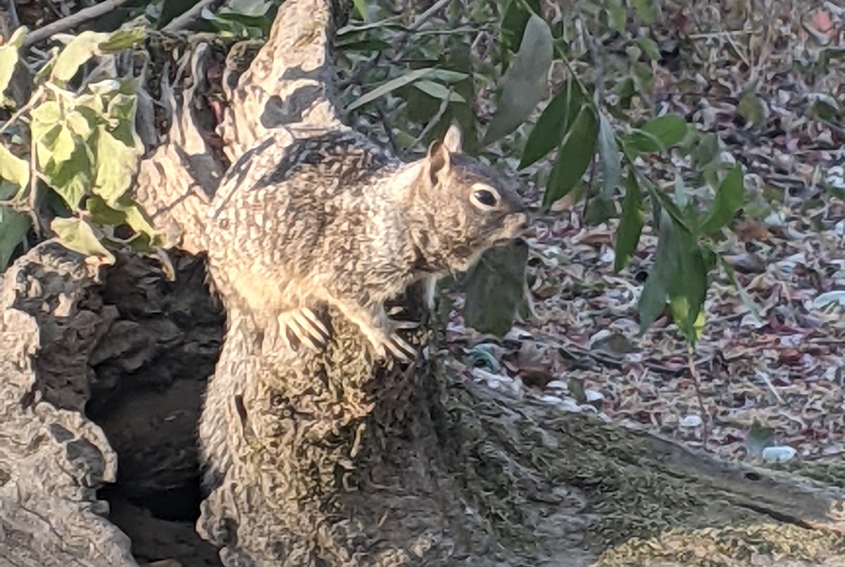
Camouflage: Ways Animals Blend in With Geography
Camouflage is a way for animals and insects to blend in with their surroundings in order to avoid detection.

Mapping Feral and Stray Cats
Conservationists are using GIS and GPS to map out feral cat movements to understand impacts on native species.

How El Niño and La Niña Affect Rain in the United States
El Niño and La Niña are weather patterns that frequently have a considerable impact on the western and southwestern United States.

Geography Facts about Kīlauea
Kīlauea is the youngest and most southeastern volcano on Hawaii island.

The Shortest River in the United States
The shortest river in the U.S. is Montana's Roe River, which stretches only 201 feet.

Sand Dunes in the United States
Discover the diverse sand dunes across the U.S., from towering Great Sand Dunes in Colorado to coastal dunes along the Atlantic and Pacific shores.
