
Caitlin Dempsey

Large Glacier Flour Storm Captured by Satellites
Satellite imagery captured a massive glacier flour storm in Greenland, revealing how glacial erosion shapes landscapes and even colors lakes turquoise.

2018 NAIP Imagery
Aerial imagery covering 20 states has been added to the USDA's direct access site for NAIP imagery.

Free Synthetic Aperture Radar Handbook Available
This free handboo provides insight into how different Synthetic Aperture Radar (SAR) methodologies can be used for forest monitoring and biomass estimation.

Hurricane Michael is the Fourth Category 5 Storm to Hit the United States
Hurricane Michael was determined to be the fourth Category 5 storm to make landfall in the United States.
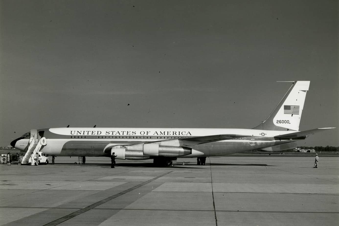
Geography of International Travel by U.S. Presidents
So where have U.S. presidents traveled? This article explores the geography of international travel by sitting U.S. presidents.

The Oldest Continuously Occupied Human Settlement
Erbil Citadel, located in the center of Erbil, Iraq, is the oldest continuously occupied human settlement.

Stokes Drift Is Pushing Microplastics Towards the Arctic
A recent publication in JGR Oceans took a look at how the physical processes of oceans affect the distribution of micro plastics around the world.

Climate Change is Intensifying Drought in Southern California
Researchers from UCLA and Columbia University discovered that the 2012–16 drought impacted Southern California more severely than northern regions.

Teaching Geography Through Map Samplers
These map samplers, made by schoolgirls over 200 years ago, demonstrated how such craftwork was utilized to aid in the teaching of geography.

The Arctic Permafrost is Thawing and It’s Causing Thousands of Landslides
Using Banks Island, Canada as a study area, researchers analyzed trends in permafrost thaw and associated landslides.

36,500 Satellite Images from RADARSAT-1 Now Available to the Public
The Canadian Space Agency and the Canada Centre for Mapping and Earth Observation have released RADARSAT-1's archive of 36,500 satellite images to the public.

Can Using a Waterless Barrier Prevent the Expansion of Invasive Species?
In western Australia, researchers have proposed a waterless barrier method to halt the spread of cane toads.

Help Map Out Australia’s Dead Trees
By using a GPS-enabled smartphone, volunteers can capture imagery of tree health around Australia to help researchers map out where trees are dying in Australia.

UK Satellite Data Now Available to Those Working in the Public Sector
The UK Space Agency has announced that its radar and satellite imagery data will be made available to those working in the UK public sector.

Microsoft Releases Canada Building Footprint Database to OpenStreetMap
Microsoft recently announced that it had released 12 million building footprints in Canada to the OpenStreetMap community.

Fire Danger Reanalysis Dataset
Researchers have made 38-years worth of global fire danger reanalysis available as an open dataset.
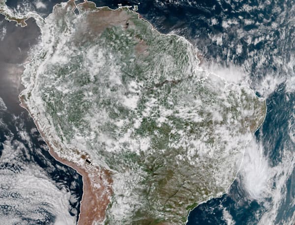
The First South Atlantic Tropical Storm Since 2010
Iba is the first tropical storm to form in the South Atlantic since 2010.

NASA Satellite Captures Image of Meteor Over the Bering Sea
On December 18, 2018, the Multi-angle Imaging SpectroRadiometer (MISR) instrument on NASA's Terra satellite detected the aftermath of an explosion of a fireball (a very bright meteor) 16 miles (26 kilometers) over the Bering Sea.

Maps on Manhole Covers
Cities like Seattle, Chandigarh (India), and Oldenburg (Germany) have designed manhole covers with maps of their respective cities.

Topography of Australia’s Intertidal Zone Available as Open Data
The National Intertidal Digital Elevation Model (NIDEM) is the first 3D model of Australia's intertidal zone. It is available for downloading as an open source dataset from Australia's National Map portal.

Tutorial: Introduction to Geospatial Analysis in R
Explore the "Introduction to Geospatial Analysis in R" tutorial for lessons on importing files, layer management, and making maps.

Can Humans Sense Earth’s Geomagnetic Field?
A group of researchers wanted to test if humans have the ability to sense the Earth's geomagnetic field.

Children’s Book: “Lindsey the GIS Specialist”
The next time a child asks you to explain what GIS is, you might want to read them this online book about Lindsey the GIS Specialist.
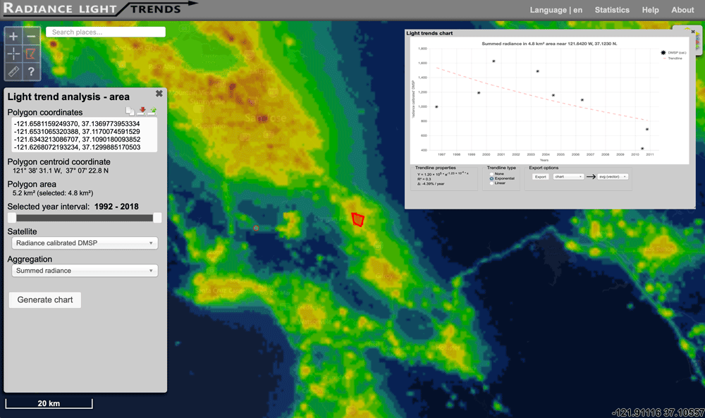
Interactive Map of How Nighttime Light Pollution Has Changed Around the World
The Radiance Light Trends website offers an interactive map where users can see how night light pollution has changed between 1992 to the present.

How Archaeologists Used GIS to Explore Sounds of the Past
Two archaeologists used GIS tools to model the ancient soundscape of New Mexico’s Chaco Canyon.

The First Color Images of the Earth from Space
The first color photographs of the full-disk view of the Earth were taken in 1967