
Articles

Open Geospatial Standards
The creation of geospatial standards is critical for sharing data among different technologies and industries.
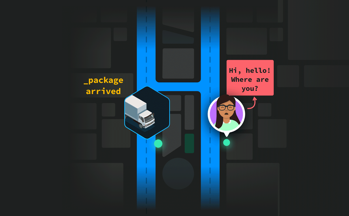
Last-Mile Problem: Achieve Pinpoint Accuracy With Hyperlocal Maps
Curated points-of-interest of a hyperlocal mapping and routing solution enable enterprises to lower cancellations and achieve higher map accuracy.

Autonomous UAVs and Geospatial Data
Autonomous UAVs are already performing a variety of tasks using geospatial data obtained in-flight.

Largest Alpine Lake in North America
Located in the Sierra Nevada mountain range, Lake Tahoe is a freshwater lake that straddles the border between California and Nevada.

Geography of Hailstorms in the United States
While hail can form anywhere in the United States experiencing a thunderstorm, geography influences where hailstorms are more likely to occur.
Fujiwhara Effect: When One Storm Absorbs Another
When two storms move towards another, an uncommon phenomenon called the Fujiwhara Effect can happen.

Review | Lure of the Beach: A Global History
Robert C. Ritchie guides readers through a comprehensive history of mankind’s love affair with the beach.

OpenStreetMap: One of the World’s Largest Collaborative Geospatial Projects
OpenStreetMap is a community project with the goal of mapping the world using a crowdsourcing, collaborative method.

Plateaus in Geography
A plateau is a flat section of land that is sharply raised in contrast to the surrounding landscape on at least one side.

These Cities are the Most Unaffordable Places to Buy a House in the World
Urban Reform Institute and Frontier Centre for Public Policy evaluated housing markets for 92 metropolitan areas in eight countries to see how affordable they area.

Mapping Schools with Artificial Intelligence
Researchers are using AI to map schools in countries where many schools are undocumented so as to connect children with schools.

Half of the United States Will Continue to be Affected by Drought for Spring 2021
Drought conditions in much of the United States are forecasted to continue for spring 2021.
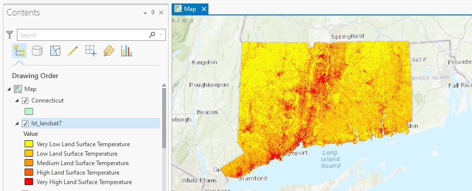
How to Use ArcGIS Pro to Calculate Land Surface Temperature (LST) from Landsat Imagery
This ArcGIS Pro tutorial utilizes spatial data science and remote sensing techniques to calculate land surface temperatures using Landsat imagery.

North American Continental Divide
The North American Continental Divide separates the watersheds that flow into the Pacific Ocean and those that flow into the Gulf of Mexico and the Atlantic, Caribbean, and Arctic Oceans.
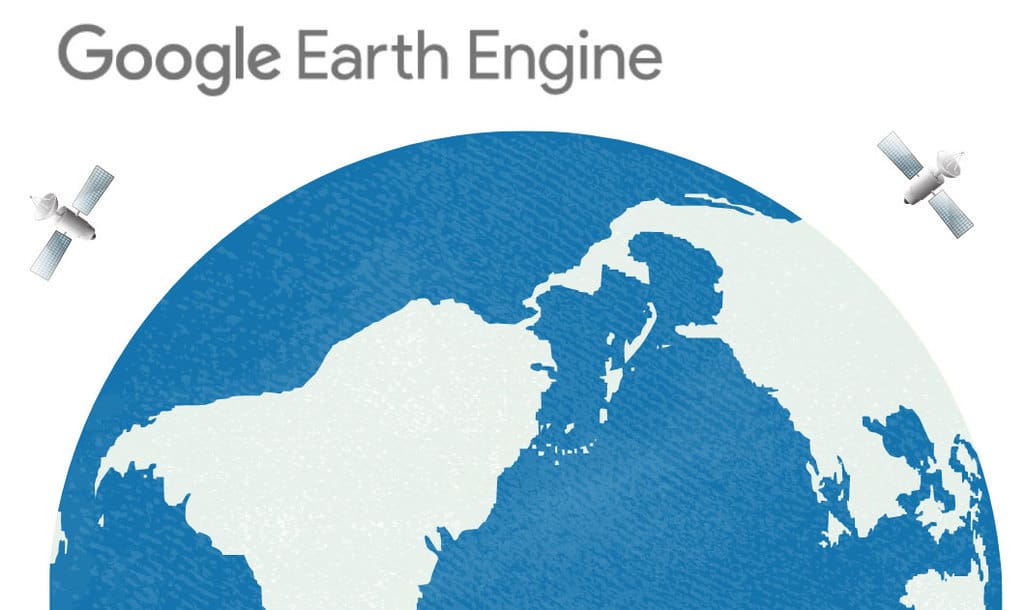
A Look at Google Earth Engine
In a MapScaping podcast episode, Quisheng Wu discusses Google Earth Engine how it allows users to share and upload their own geospatial analyses.

How Much Would the Ocean Rise if Everyone Sat in it?
If everyone in the world decided to sit in the ocean all at once, how much would the sea level rise?

View From Space: Stuck in the Suez Canal
Satellites have captured imagery of the Ever Given which is currently stuck in the Suez Canal.

What Was the First Map Issued by the Ordnance Survey?
The first Ordnance Survey map was issued in 1801.

How San Francisco’s Geography and Microclimate Affect Baseball
San Francisco's geography shaped the microclimates that affected baseball at Candlestick Park.

How to Use ArcGIS Pro to Assess Landslide Susceptibility
This tutorial explains how landslide susceptibility can be assessed using ArcGIS Pro.

The Earth’s Only Active Volcano Known to Emit Natrocarbonatites
Only one active volcano in the world is known to emit natrocarbonatite.

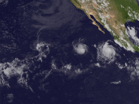
2020 Hurricane Season
Each year, the World Meteorological Organization creates a list of official names for major storms in the both Northern Pacific and Atlantic oceans.

Using ArcGIS Online to Manage Content
With the Item Report Dashboard from GEOACE, you can use out-of-the-box tools in ArcGIS Online to manage content within an organization.

Billions of Cicadas Will Be Emerging In the United States
Starting sometime in April or May, depending on latitude, one of the largest broods of 17-year cicadas will emerge from underground in a dozen states.

How Maps Affect Perception
Maps are both a great tool for telling us an important message but they can also be a key part of false narratives or misleading information.