
GIS and Geospatial Technologies
Articles focusing on the application of geographic information systems (GIS), geospatial technologies, remote sensing, LiDAR, and Global Positioning System (GPS). These technologies serve as critical tools for understanding and interacting with our physical environment. GIS allows for the mapping and analysis of spatial data Geospatial technologies refer to the various tools used to measure and analyze Earth’s lands and resources. Remote sensing provides a way to collect data from a distance, often via satellites or high-flying aircraft, and is commonly used for environmental monitoring and military applications.
GIS subcategories :
GIS Career | GIS Data | GIS Industry | GIS Learning | GIS Software | GPS | Remote Sensing | Spatial Analysis

Rivers as Borders: GIS Dataset Available
The Global Subnational River Borders GIS dataset is freely available.

What to Expect With the Esri Virtual Conference
This year the Esri UC 2020 will be held from Monday, July 13 to Thursday, July 16, 2020 as a virtual conference.

Marketing and Rebranding GIS: Opportunities for GIS Professionals
GIS professionals need to emphasize more than just their geospatial skills when marketing GIS to organizations.

Easily Create Interactive Flow Maps
Ilya Boyandin has developed an easy-to-use online tool that takes location data stored in Google Sheets to visualize interactive flow maps.

Python and Geospatial Analysis
Two recent podcasts from MapScaping take a look at the use of Python in geospatial analysis.

Time-lapse Photo of the International Space Station Passing in Front of the Sun
NASA photographer Joel Kowsky was able to capture this time-lapse photograph of the International Space Station (ISS) as it passed between the Earth and the Sun.

The Earth Archive Project and 3D Mapping the Earth
The Earth Archive Project, launched in 2019, is a project that will provide a detailed 3D map of the entire Earth.

Rebounding Pollution Levels Mark End of Coronavirus Lockdowns
As countries reopen during the COVID-19 pandemic, an increase in pollution has been detected by NASA and European satellites.
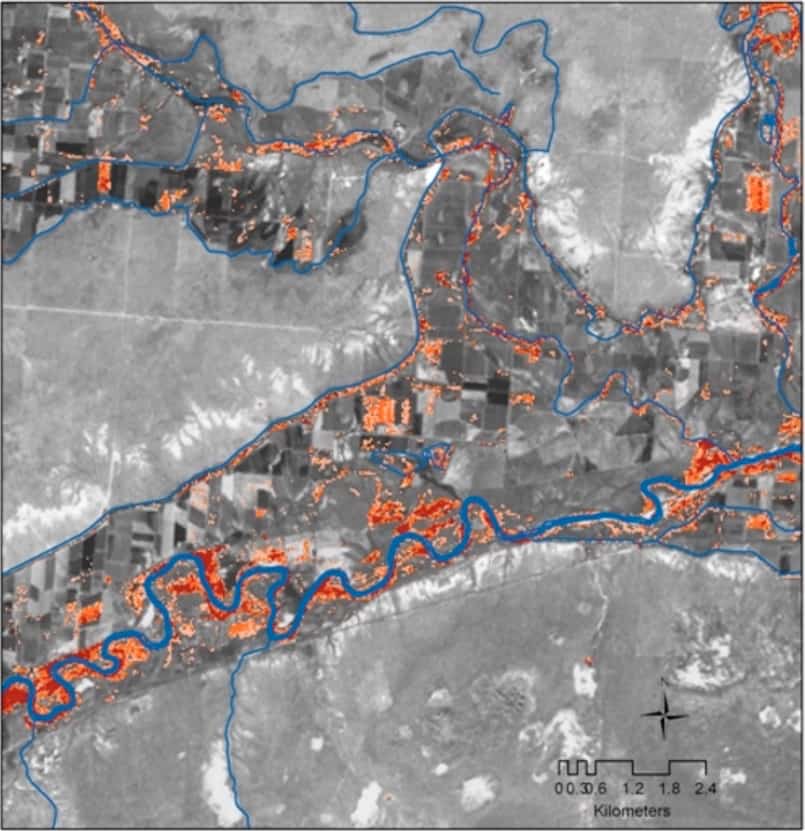
Using Remote Sensing to Map Invasive Species
Scientists and researchers are increasingly using remote sensing methods to map and track invasive species.

ESA Launches Global Air Pollution Map
The European Space Agency offers an online map that shows global air pollution data collected from its Copernicus Sentinel-5P satellite.

Using Drones to More Accurately Count Sea Turtles
Researchers have found that using drones and underwater cameras is a quicker and more accurate way to count green turtles.

Analysis of Satellite Imagery and Search Data Suggests the Coronavirus Outbreak May Have Started Earlier in 2019
A study that analyzed traffic around hospitals using satellite imagery and Baidu search queries suggests that the coronavirus outbreak may have started earlier in China than in December of 2019.

Massive List of GIS Tasks and Job Titles
Ever wonder how diverse the titles are of those that work with GIS?

What is Continuous Versus Discrete Data in GIS?
All datasets in GIS can be categorized as being either discrete or continuous.

What is Cadastral GIS Data?
Cadastral GIS data is data that contains information about land ownership. Parcel datasets are one form of cadastral GIS data. ...

Mapping the Amount of Snow on Arctic Sea Ice
Scientists are using satellite data to measure and map the amount of snow on Arctic sea ice.
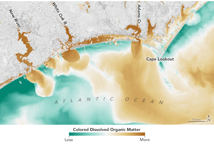
Monitoring Lakes Using Remote Sensing Data
Satellite-based remote sensing is proving to be a useful tool to allow effective monitoring of lakes around the world.

The Importance of GIS
David Falk writes about how GIS plays an important role in his career as an Army Officer, in his field as an engineer, and in his civilian life as potential homeowner and resident.

Review: Maps for Time Travelers
A survey of the geospatial technological advances which have enabled today’s archaeologists to map the ancient world.
Tracking COVID-19 Through Sewage, Air, and Thermal Cameras
Given the limitations of testing, companies and researchers are using different proxies to better understand the extent of COVID-19.

Defining the Role of GIS and Needed Skills
A recently published open access journal article presents three case studies to help analyze the level of GIS expertise needed for interdisciplinary studies.

Using Geospatial Technologies to Map Locust Swarms
Using a combination of satellite and UAV monitoring, the impact of locusts can be minimized by anticipating where swarms are likely to form next.

Building a Model with ArcGIS ModelBuilder Saves Time
Emmanuel Jolaiya shows users how to use ArcGIS ModelBuilder to develop a model for for analyzing and manipulating GIS Data.

An Introduction to ArcGIS ModelBuilder
In this overview, Emmanuel Jolaiya introduces readers to ModelBuilder in ArcGIS which can be used to build models for analyzing and manipulating GIS Data.

Satellite Mapping of Oceans and Coral Reefs
In 2018, NASA launched the ICESat-2 satellite to monitor levels of ice. Researchers have found that this satellite can also measure coral reef systems.

Using Geospatial Technologies to Map and Track Food Supply Chains
Geospatial and Big Data firms such as Orbital Insight are using and combining satellite data, cellphone geolocation data, and UAV data to track food supply chains.