
GIS and Geospatial Technologies
Articles focusing on the application of geographic information systems (GIS), geospatial technologies, remote sensing, LiDAR, and Global Positioning System (GPS). These technologies serve as critical tools for understanding and interacting with our physical environment. GIS allows for the mapping and analysis of spatial data Geospatial technologies refer to the various tools used to measure and analyze Earth’s lands and resources. Remote sensing provides a way to collect data from a distance, often via satellites or high-flying aircraft, and is commonly used for environmental monitoring and military applications.
GIS subcategories :
GIS Career | GIS Data | GIS Industry | GIS Learning | GIS Software | GPS | Remote Sensing | Spatial Analysis

Geospatial Data and Sustainable Development Goals
The new initiative, called Data for Now, will see the linkage of Google Earth satellite data and other GIS data with UN data.

Using Satellites to Map Air Pollution from Wildfires
The Copernicus Sentinel-5P mission is designed to monitor pollutants entering the atmosphere because of major forest fires.

Community Involvement in OpenStreetMap
While we often assume that the OpenStreetMap (OSM) community is primarily made up of individuals, large corporations are increasingly active in the development of OSM.

World Bank and Geospatial Data
The World Bank in August 2018 launched the Integrated Geospatial Information Framework, which is seen as a way for GIS data to be provided for governments, NGOs, and companies to make more informed decisions that not only benefit their economies but also enable sustainable development.
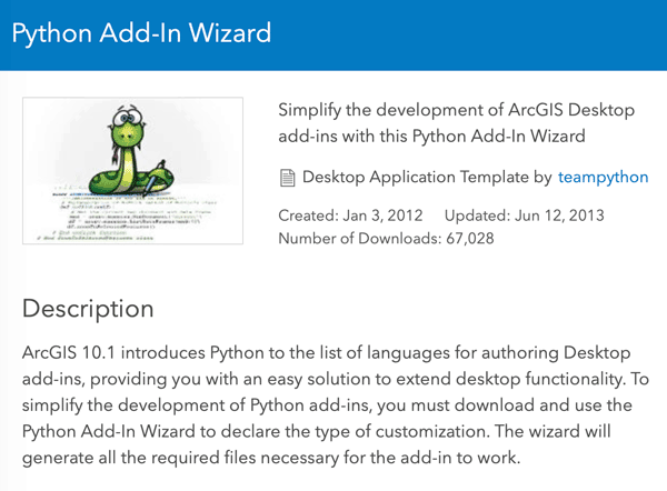
Customize ArcMap with Python Add-Ins
Daniel Fourquet walks users through the process of using Python to create Add-Ins for ArcMap.

Finding Pleasant Routes Using GIS
GIS is being to used to plan pedestrian routes not based on the fastest way but centered on finding the quietest, shadiest, or most pleasant paths.

How to Calculate the Boundaries of an UTM Zone
A UTM coordinate system's eastern and western borders can be easily determined.

Using Geospatial Analysis to Map the Optimal Places for Tropical Rainforest Restoration
Using peer-reviewed GIS datasets and remote sensing data, 88% of the needed restoration effort could focus on just six countries that are likely to help restore tropical rainforest growth.


What the Rise of Small Satellites Means for Geospatial Data
Small scale satellites are changing how we can acquire our data as geospatial analysts.

Platforms for Making Deep Learning Easier for GIS
New tools have been developed to facilitate the integration of deep learning tools within GIS applications.

New Map Shows How Fast Ice is Leaving Antarctica
Researchers used synthetic-aperture radar (SAR) data to look at how the ice is moving and shifting on Antarctica.
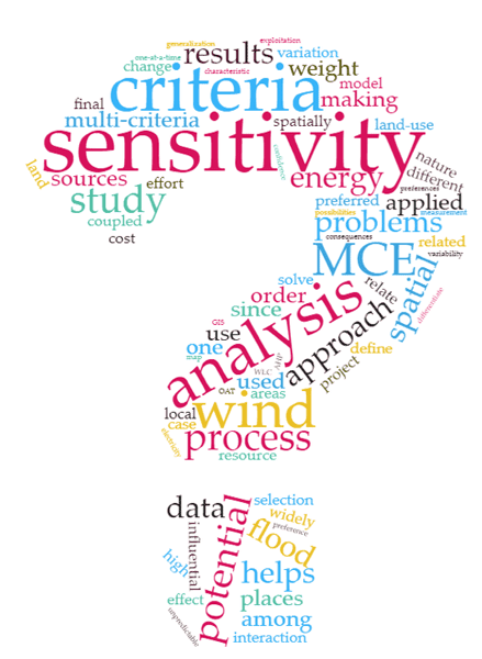
Determining Uncertainty in GIS Data
Multi-Criteria Evaluation (MCE) has widely been coupled with GIS to solve the spatial decision-making problems where there are several measures to be compared and screened for decision alternatives.

Version 3 of the ASTER Global Digital Elevation Model Released
2.3 million scenes from the ASTER archive were processed to create the latest version of the ASTER Global Digital Elevation Model (GDEM).

Using Crowdsourcing and Deep Learning to Map Human Settlements
Machine learning techniques are being used to map new urban and land use patterns that were previously difficult to detect using crowdsourcing data.

3 Ways Geospatial Data is Changing the Way We Manage the Environment Around Us
Dr. Michael Flaxman, director of Geodesign Technologies and Geospatial Community Advocate for OmniSci, presents three example of how newly available geospatial data is being leveraged.

How Google Earth Engine Has Changed Access to Remote Sensing Data
Google Earth Engine provides access to remote sensing data without requiring advanced software or skilled geospatial technicians.
Uber’s Open Source Mapping Tool
In 2016, kepler.gl, Uber’s mapping tool used to track and map journeys on its popular ride hailing application, was released as an open source project by the company.

Working with GIS Data using Python
Explore how Python, a scripting and programming language, enhances problem-solving across spatial sciences, from GIS data handling to visualization.

Tracking Lost Dogs with Their Nose Prints
A new Chinese Artificial Intelligence startup called Magvii is working on new technology that could help reunite lost pets and their owners.
Using Historical Photographs to Map Landscape Change
Researchers used historical photographs, some dating back to the mid-19th century, to analyze changes in landscapes.
European Global Position System Failure Points to the Importance of Location Technology
What is being called a “major outage” by the European Global Navigation Satellite System (GNSS) Agency, or GSA, highlights the critical importance played by the satellite systems that provide accurate positioning and time information to devices such as mobile phones, car navigation systems and other services such as land surveying.
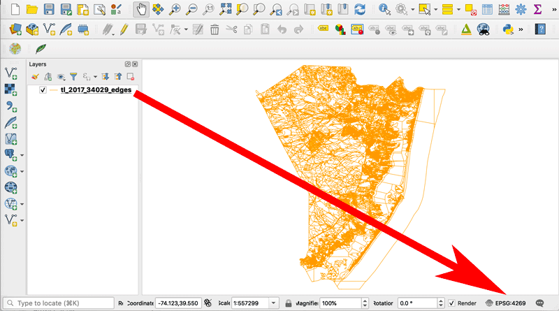
How to Change the Projection of a Shapefile Using QGIS
If you know your shapefile's beginning coordinate system or projection, you can export the data using QGIS.

NASA is Expanding its Worldwide Landslide Data Catalog Using Volunteers
NASA has developed Landslide Reporter as a way to collect as much information as possible about landslides from citizen scientists from around the world.
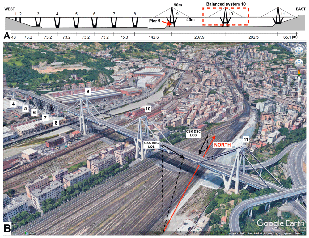
Using Remote Sensing to Detect Structural Changes in Bridges
Researchers are using synthetic aperture radar (SAR) collected from satellites to detect structural changes in bridges.

Mapping Ground Movement From the 2019 California Earthquake with Satellite Data
Researchers with NASA's Jet Propulsion Laboratory have used satellite data to map out surface displacement from the 2019 California earthquakes.