
Articles

The Role of GIS in Predicting Road Conditions
Recent developments in GIS and analytical applications have demonstrated that predicting road conditions, and thus preventing traffic accidents and possibly even traffic in the first place, is possible.

Researchers Analyzed over 22 Billion Shipping Positions to Map the Global Footprint of Industrial Fishing
To map out global fishing activity, over 22 billion AIS messages between 2012 and 2016 were analyzed by researchers.
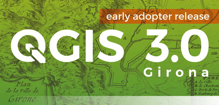
QGIS 3.0 Released
Version 3.0 of QGIS, the popular free and open source GIS software, was released today.

High Altitude Pseudo-Satellites
High altitude pseudo-satellites (HAPS) are systems or platforms that usually float or operate for long periods, sometimes for months, at about 20 km above the Earth’s surface and can be potentially used to complement earth observation satellites.

Transforming Satellite Imagery Classification with Deep Learning
Deep learning has a potential to transform image classification and its use for the spatial sciences, including GIS.

GIS Certification versus Certificate Programs
GIS certification and certificate programs are two similarly named yet different markers of a person's GIS education and skills achievements.

Monitoring Algal Blooms with Remote Sensing
Given the importance of knowing how blooms affect aquatic life, remote sensing techniques using a variety of available imagery have been developed.
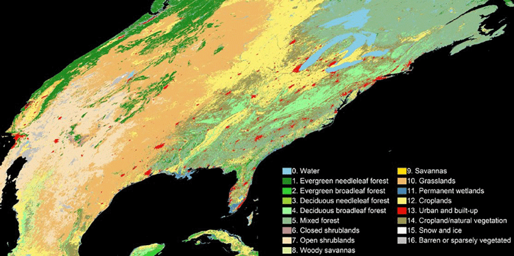
An Algorithm to More Accurately Classify Land Cover Using Landsat Imagery
Hankui Zhang, from South Dakota State University, has developed a new classification technique that combine satellite images from MODIS and Landsat.

Geography of the Winter Olympic Games
Learn about the Olympic Winter Games' geography.
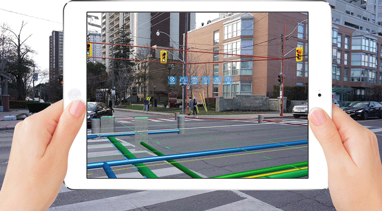
Holographic GIS
As mobile and handheld devices increasingly use virtual reality and augmented reality applications, GIS has been incorporated to deploy spatial databases that apply holographic capabilities.
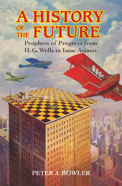
Review | A History of the Future
The History of Future presents a survey of the history of futuristic predictions from the nineteenth century on through the first two-thirds of the twentieth, in the English-speaking world
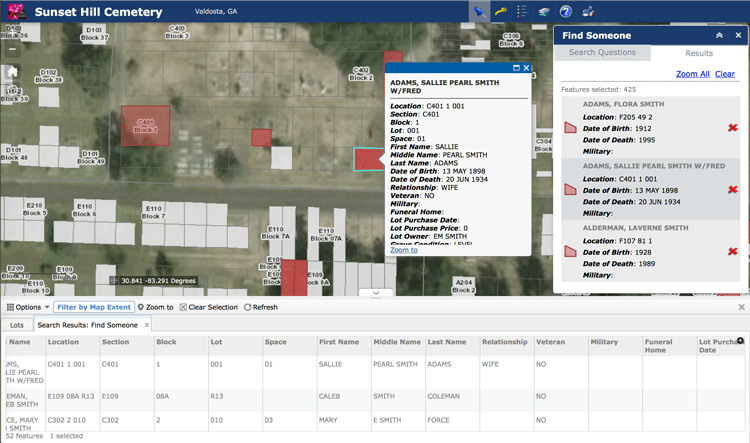
Using GIS to Analyze the Geography of Cemeteries
In addition to studying historic burial sites, GIS has also been shown to be effective in managing modern cemeteries, particularly as space becomes an increasing problem in densely populated regions.
Using Virtual Reality to Promote Information Literacy among Students
Virtual reality (VR) is emerging as an effective technology that librarians can use to help develop geographic information literacy among students of all ages.

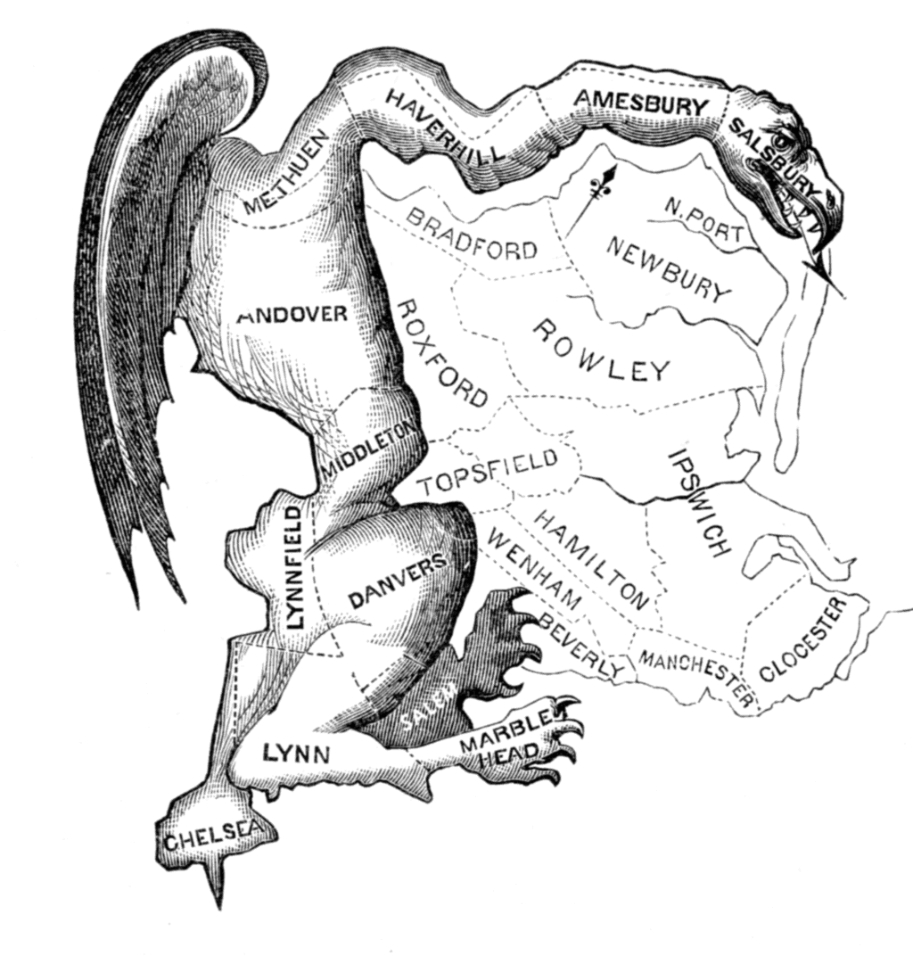
A Victorian Teenager Created These Comical Maps of Different European Countries
In the 1860s, a young girl decided to amuse her sick brother by creating maps of various European countries.

How to Add a Map from Mapbox to QGIS
This tutorial will show you how to take a map style you have created in Mapbox and load it into a QGIS session.

Debris from the 2011 Japanese Tsunami Carried Almost 300 Marine Species Across the Pacific Ocean
A group of researchers inventoried what marine species traveled across the Pacific Ocean between 2012 and 2017 as the result of a biological rafting event created by the 2011 Japanese Tsunami.

Visualizing Climate Change With Maps
The choice of labeling and color can have a pronounced influence in shaping opinions when visualizing climate change on maps.

GeoQuiz: Guess the Country
Take the following geography quiz to see if you can guess the country using just its outline.

Collaborative Documentation of Online GIS Applications
Olivia Harne discusses the need for adequate documentation by project members when developing online GIS applications.

LiDAR: Light Detection And Ranging
LiDAR systems are used to collect high resolution topographic and bathymetric data.

Developing Damage Proxy Maps from Satellite Data
Satellite data is being used to create Damage Proxy Maps to assess changes in an area as the result of natural disasters like Hurricane Maria in Puerto Rico, and the wildfires that have hit Northern and Southern California.
GIS and Gerrymandering
GIS can be used to detect and also assist in gerrymandering when developing new district maps.

How Often Does it Snow in the Sahara Desert?
The sight of snow in the Sahara Desert is rare, but it does happen on occasion.

Free GIS Data Viewers
Free data viewers for a variety of GIS data formats. These viewers allow you to display geographic data as well as perform some basic GIS functions.

How to Geocode Addresses Using QGIS
If you have a CSV formatted file containing addresses, you can take advantage of QGIS to map out those addresses. This article contains step by step instructions for geocoding addresses using QGIS.

GIS and Territorial Disputes
The use of GIS for mapping territorial disputes has played both a positive and negative role in resolving these disputes.