
Articles

Pyrocene: the Age of Fire?
Climate change and human activities are creating record wildfire seasons.

Review | Hella Town: Oakland’s History of Development and Disruption
'Hella Town: Oakland’s History of Development and Disruption' by Mitchell Schwarzer is a superb example of urban history.

Spatial Node: a Platform for Geospatial Professionals
Spatialnode is a platform for all things geospatial and earth observation including the people behind these technologies.

Using Giant Arrows to Guide Airmail Flights
The Transcontinental Airway System guided nighttime airmail flights before the invention of radio navigation and GPS.

Geography of Igneous Rocks in the United States
About 15% of the Earth's present land surface is made up of igneous rocks.

Remote Monitoring of Construction Using Geospatial Technologies
ConsTrack uses satellite imagery, remote sensing, and machine learning to monitor construction activities.

Cumbre Vieja Volcano on La Palma Island
Cumbre Vieja, a volcano on the island of La Palma, erupted again on September 19, 2021.

Melting Glaciers and Larger Lakes
A global survey that used satellite data has determined that overall, glacial lakes have increased in volume almost 50% since 1990.
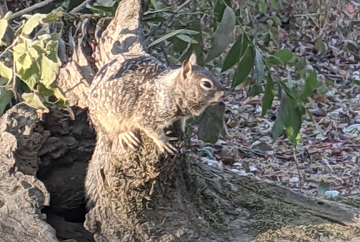
Camouflage: Ways Animals Blend in With Geography
Camouflage is a way for animals and insects to blend in with their surroundings in order to avoid detection.

Mapping Feral and Stray Cats
Conservationists are using GIS and GPS to map out feral cat movements to understand impacts on native species.

GIS, Spatial Data, and Agroforestry
Geopatial analysis and GIS are crucial tools for assessing the quality and types of landscapes suited for growing various types of vegetation.

Open Topography: A Spatial Data Infrastructure for Topographic Data
Open Topography is a web-based portal for imagery and lidar data that allows users to create their own deliverables.

The Wildland-Urban Interface is Growing in the United States
More people in the United States are moving from urban areas into more natural landscapes.

How to Create Firefly Cartography with QGIS
Firefly cartography is a cartographic style used to create maps that glow. Learn how to make a firefly map using QGIS.

How El Niño and La Niña Affect Rain in the United States
El Niño and La Niña are weather patterns that frequently have a considerable impact on the western and southwestern United States.

Geography Facts about Kīlauea
Kīlauea is the youngest and most southeastern volcano on Hawaii island.

The Shortest River in the United States
The shortest river in the U.S. is Montana's Roe River, which stretches only 201 feet.

Geography of Pumpkins in the United States
Pumpkins are a popular gourd for Halloween and Thanksgiving in the United States.

Sand Dunes in the United States
Discover the diverse sand dunes across the U.S., from towering Great Sand Dunes in Colorado to coastal dunes along the Atlantic and Pacific shores.

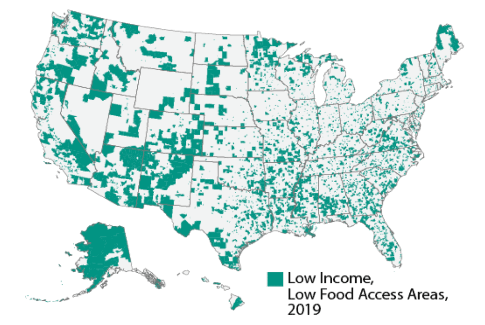
Using Local Knowledge to Better Map Food Deserts
Mapping and understanding food deserts is important if we are to understand how best to tackle the lack of healthy food options in the United States.

Mentoring in the Geospatial Industry
Opeyemi Kazeem-Jimoh of the Geospatially Africa Podcast spoke to Sharon Omoja, a regional ambassador for Women in Geospatial+ about her personal experience in volunteering and mentoring women in the geospatial industry.

Pacific Ring of Fire
The Ring of Fire refers to the long chain of volcanoes and earthquake zones that encircle much of the Pacific Ocean.

Which Country is the Least Densely Populated?
Found out which country is the least densely populated and which territory is the least densely populated in the world.

Spatial Analysis of Inflation and the Impact of the Pandemic
As countries continue to recover from the Covid epidemic, the latest economic worry is that growing prices and shortages would significantly impact the larger economy.

Everything You Need to Know About LiDAR From Drones
NV5's Lukas Fraser discusses drone-based LiDAR: best use cases, how data accuracy is ensured when using drones to capture LiDAR, why LiDAR and high-resolution imagery are complementary technologies, and new market opportunities for topo bathymetric LiDAR.